Rödelheim, Frankfurt

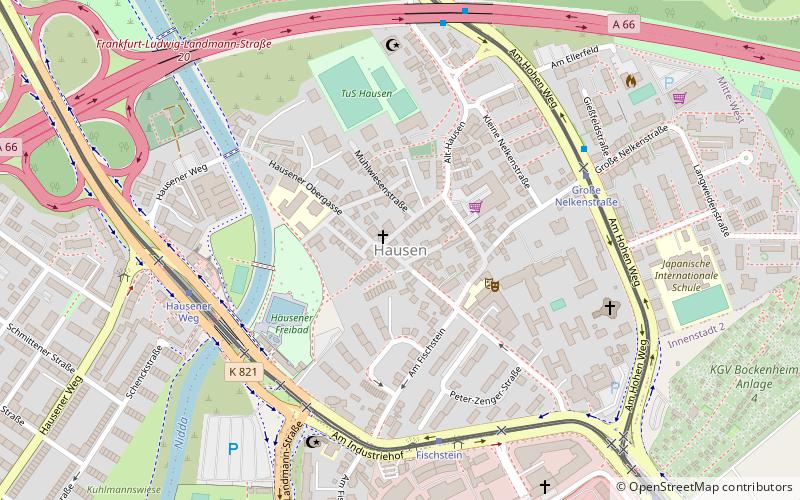
Map
Facts and practical information
Rödelheim is a quarter of Frankfurt am Main, Germany. It is part of the Ortsbezirk Mitte-West and is subdivided into the Stadtbezirke Rödelheim-Ost and Rödelheim-West. ()
Getting there by public transportation
Public transportation stops near this location
- Metro
- Bus
- Tram
- Train
 Metro
Metro
- Calculate routeReifenberger Straße/Sozialzentrum 9 min walk
- Calculate routeHausener Weg 10 min walk
- Calculate routeStephan-Heise-Straße 11 min walk
- Calculate routeKirschbaumweg 11 min walk
- Calculate routeStephan-Heise-Straße 11 min walk
- Calculate routeHausener Weg 12 min walk
- Calculate routeFriedhof Westhausen 13 min walk
- Calculate routeFischstein 18 min walk
- Calculate routeFrankfurt-Rödelheim 14 min walk
- Calculate routeAn der Dammheide 35 min walk
Day trips


Frequently Asked Questions (FAQ)
Which popular attractions are close to Rödelheim?
Nearby attractions include Praunheim, Frankfurt (1 min walk), Hausen, Frankfurt (17 min walk), Solmspark, Frankfurt (18 min walk).
How to get to Rödelheim by public transport?
The nearest stations to Rödelheim:
Bus
Metro
Train
Tram
Bus
- Reifenberger Straße/Sozialzentrum • Lines: M34 (9 min walk)
- Hausener Weg • Lines: M34 (10 min walk)
Metro
- Stephan-Heise-Straße • Lines: U7 (11 min walk)
- Hausener Weg • Lines: U7 (12 min walk)
Train
- Frankfurt-Rödelheim (14 min walk)
Tram
- An der Dammheide • Lines: 17 (35 min walk)