City Hall, Treuchtlingen
Map
Facts and practical information
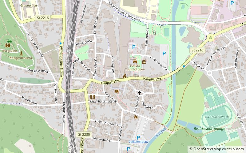
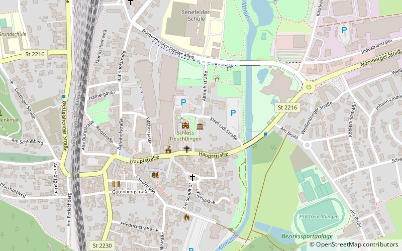
City Hall (address: 31 Hauptstraße) is a place located in Treuchtlingen (Bavaria ) and belongs to the category of city hall.
It is situated at an altitude of 1362 feet, and its geographical coordinates are 48°57'20"N latitude and 10°54'39"E longitude.
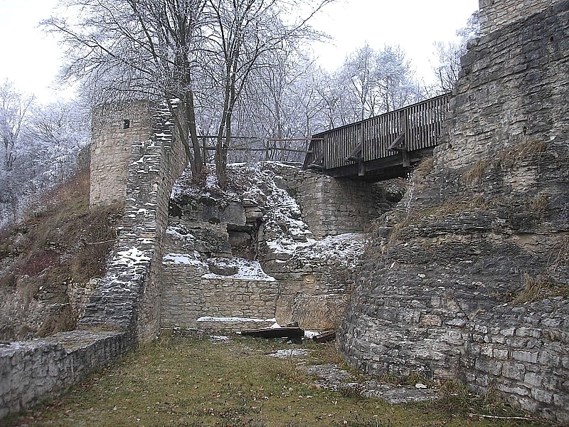
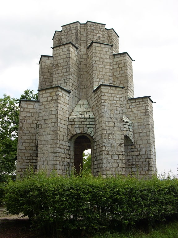
Among other places and attractions worth visiting in the area are: Volkskundemuseum (museum, 3 min walk), War Memorial (memorial, 9 min walk), Burgruine (forts and castles, 10 min walk).
Coordinates: 48°57'20"N, 10°54'39"E
Day trips
Frequently Asked Questions (FAQ)
Which popular attractions are close to City Hall?
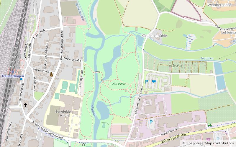
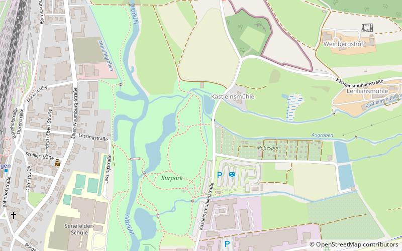
Nearby attractions include Volkskundemuseum, Treuchtlingen (3 min walk), War Memorial, Treuchtlingen (9 min walk), Burgruine, Treuchtlingen (10 min walk), Spa Park, Treuchtlingen (12 min walk).