Hoher Hagen


Facts and practical information
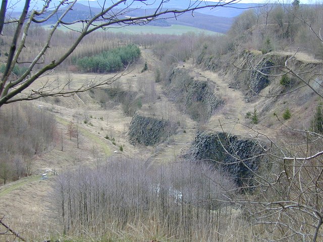
Hoher Hagen is a unique geological formation located in the heart of Germany, standing as a testament to the region's ancient volcanic activity. This extinct volcano, which is part of the Dransfeld Municipal Forest, offers not only a glimpse into the geological past but also presents a tranquil spot for nature enthusiasts and hikers.
The area around Hoher Hagen is characterized by lush greenery and scenic views, making it a popular destination for outdoor activities. The summit of the volcano, at an elevation of about 480 meters, provides panoramic vistas of the surrounding Lower Saxon landscape. The climb to the top is rewarded with a chance to see a broad expanse of central Germany, stretching out in all directions.
While it may not be as towering as some of its volcanic counterparts around the world, Hoher Hagen holds its own with a rich history and a serene atmosphere. The remnants of volcanic activity have shaped the terrain, offering unique geological features and soil composition that supports a diverse range of flora and fauna.
Hoher Hagen is not simply a natural wonder; it also holds cultural significance with the presence of the Max Planck Institute for Solar System Research located at its base. This institute is a hub for astronomical research, adding a layer of scientific intrigue to the area.
Lower Saxony
Hoher Hagen – popular in the area (distance from the attraction)
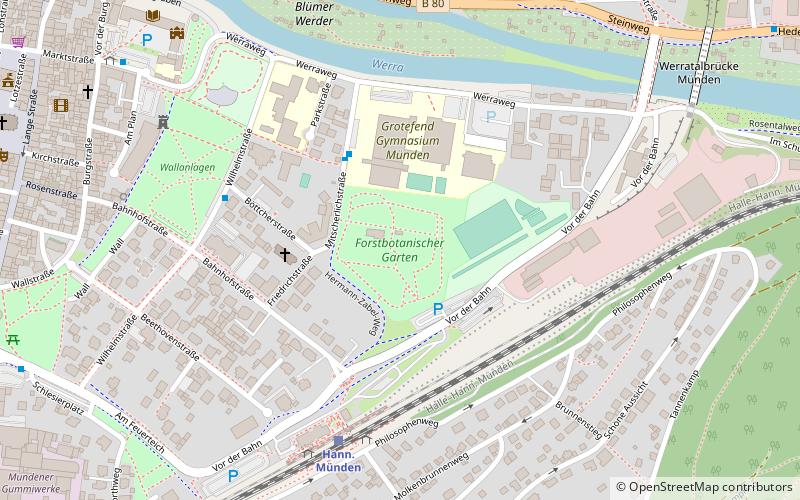
Nearby attractions include: Gauss Tower, Forstbotanischer Garten in Hannoversch Münden, Sankt Martini, Werra Viaduct.


