Rotehornpark, Magdeburg
Map

Gallery

Facts and practical information
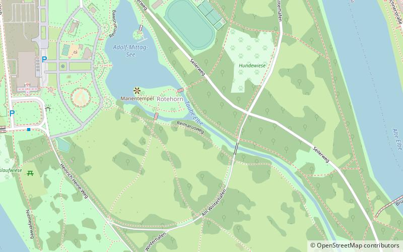
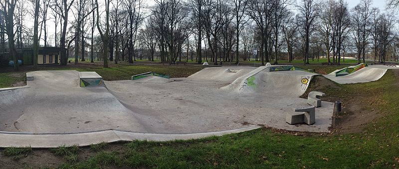
Rotehornpark, also known as Stadtpark Rotehorn, is the largest municipal park in the city of Magdeburg, covering an area of 200 hectares. The park is located on an island in the Elbe River and is part of the Saxony-Anhalt Garden Dreams network.
Elevation: 161 ft a.s.l.Coordinates: 52°7'0"N, 11°38'50"E
Address
WerderMagdeburg
ContactAdd
Social media
Add
Day trips
Rotehornpark – popular in the area (distance from the attraction)
Nearby attractions include: Magdeburg Cathedral, MDCC-Arena, GETEC Arena, Gruson-Gewächshäuser.
Frequently Asked Questions (FAQ)
Which popular attractions are close to Rotehornpark?
Nearby attractions include Albinmüller-Turm, Magdeburg (8 min walk), Brücke am Wasserfall, Magdeburg (10 min walk), Sankt Andreas, Magdeburg (13 min walk), Hubbrücke, Magdeburg (13 min walk).
How to get to Rotehornpark by public transport?
The nearest stations to Rotehornpark:
Bus
Tram
Train
Bus
- Stadthalle • Lines: 59 (8 min walk)
- MDR-Funkhaus • Lines: 59 (13 min walk)
Tram
- Mehringstraße • Lines: 4 (14 min walk)
- Budenbergstraße • Lines: 13, 2, 8, N2 (16 min walk)
Train
- Magdeburg-Buckau (23 min walk)
- Magdeburg Hasselbachplatz (26 min walk)


