Karl-Marx-Allee, Berlin
Map
Gallery
Facts and practical information
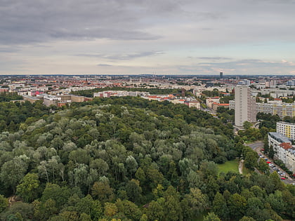
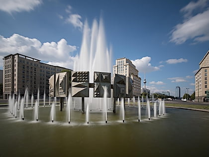
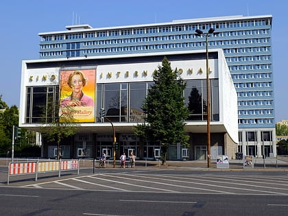
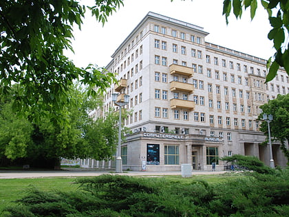
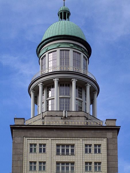
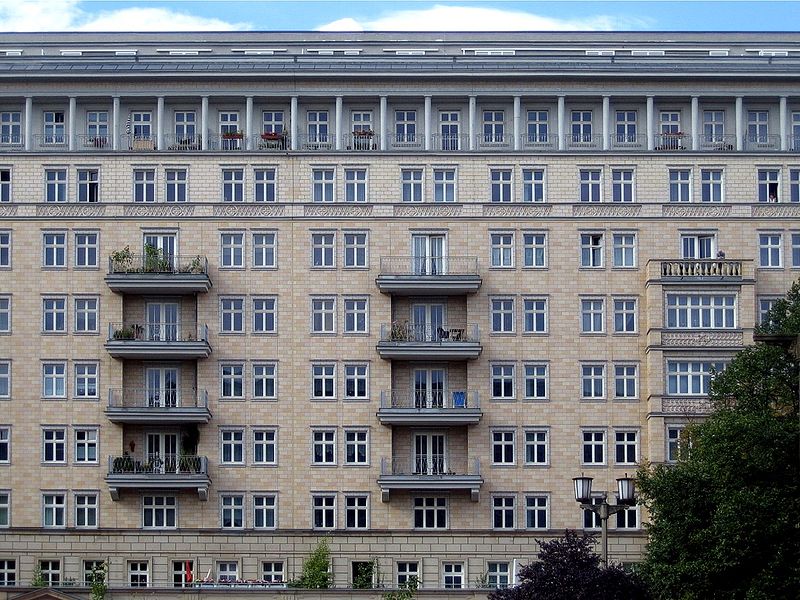
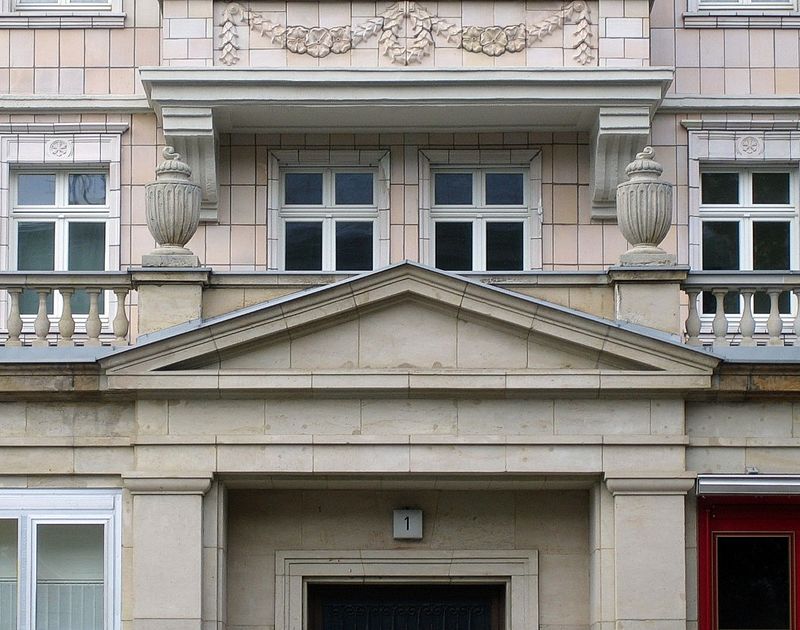
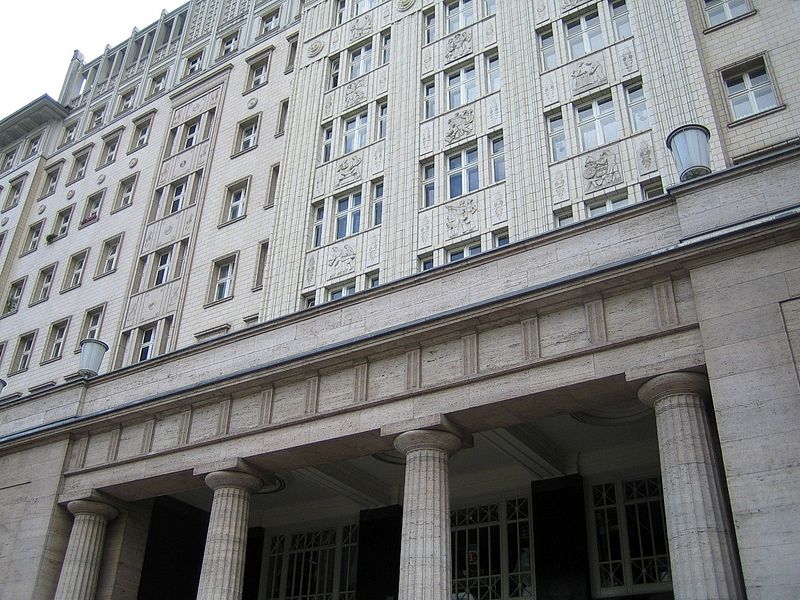
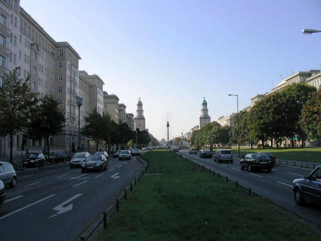
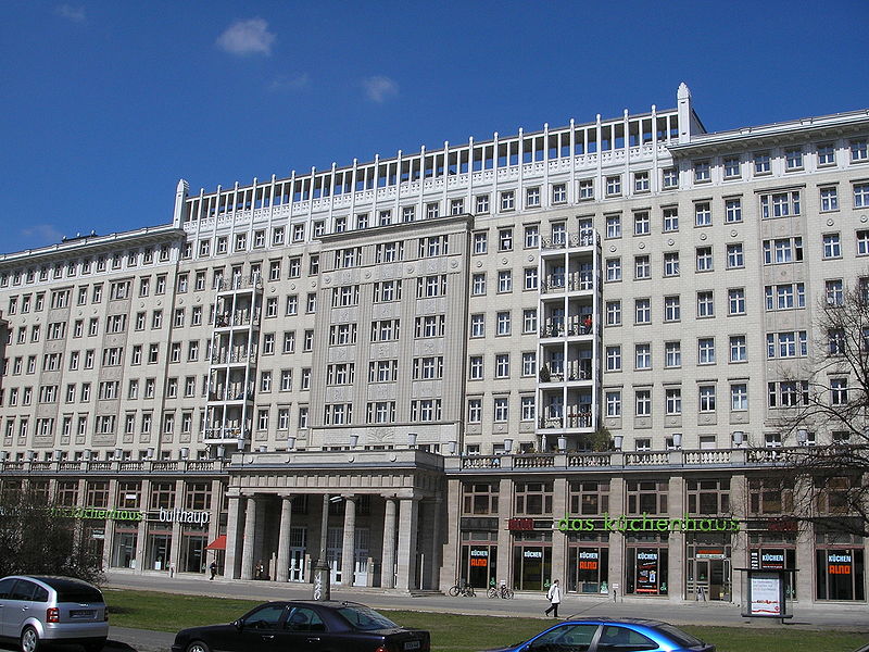
Karl-Marx-Allee is a monumental socialist boulevard built by the GDR between 1952 and 1960 in Berlin Friedrichshain and Mitte. Today the boulevard is named after Karl Marx. It should not be confused with the Karl-Marx-Straße in the Neukölln district of Berlin. ()
Address
Friedrichshain-Kreuzberg (Friedrichshain)Berlin
ContactAdd
Social media
Add
Day trips
Karl-Marx-Allee – popular in the area (distance from the attraction)
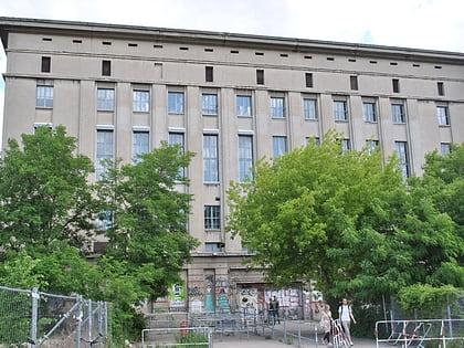
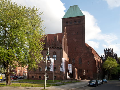
Nearby attractions include: Berghain, East Side Gallery, KitKatClub, Märkisches Museum.
Frequently Asked Questions (FAQ)
Which popular attractions are close to Karl-Marx-Allee?
Nearby attractions include Statue of Joseph Stalin, Berlin (1 min walk), Computerspielemuseum, Berlin (8 min walk), Strausberger Platz, Berlin (8 min walk), Straße der Pariser Kommune, Berlin (11 min walk).
How to get to Karl-Marx-Allee by public transport?
The nearest stations to Karl-Marx-Allee:
Metro
Tram
Train
Bus
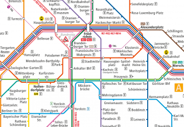
Metro
- U Strausberger Platz • Lines: U5 (5 min walk)
- U Weberwiese • Lines: U5 (11 min walk)
Tram
- Platz der Vereinten Nationen • Lines: M5, M6, M8 (10 min walk)
- Klinikum im Friedrichshain • Lines: M5, M6, M8 (13 min walk)
Train
- Berlin Ostbahnhof (14 min walk)
- Berlin Alexanderplatz (27 min walk)
Bus
- Alexanderplatz • Lines: 002, 057, 065, 070, 125, 1385, 170, 270, 370, N13, N1385, N232, N44, N70 (25 min walk)



 Metro
Metro