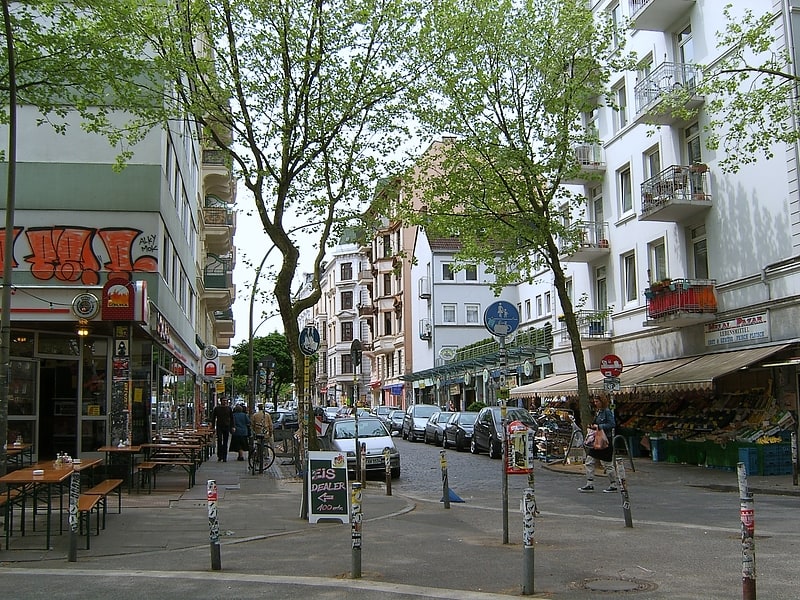
Holsten Brewery, Hamburg
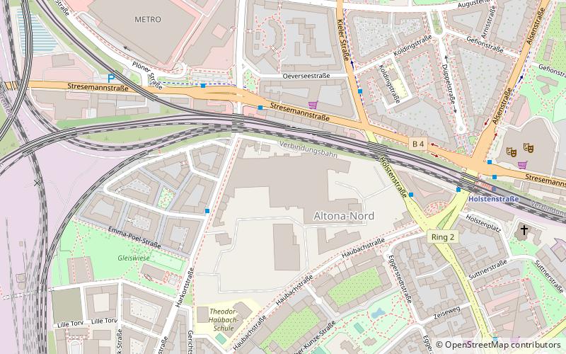
Map
Facts and practical information
Getting there by public transportation
Public transportation stops near this location
- Metro
- Bus
- Light rail
- Train
- Ferry
 Metro
Metro
- Calculate routeEva-Rühmkorf-Straße 3 min walk
- Calculate routeKaltenkircher Platz 4 min walk
- Calculate routeStresemannstraße 4 min walk
- Calculate routeS Holstenstraße 6 min walk
- Calculate routeHolstenstraße 8 min walk
- Calculate routeDiebsteich 15 min walk
- Calculate routeHamburg-Altona 19 min walk
- Calculate routeHamburg-Altona 17 min walk
- Calculate routeEmilienstraße 20 min walk
- Calculate routeChristuskirche 25 min walk
- Calculate routeOsterstraße 27 min walk
- Calculate routeSternschanze 28 min walk
- Calculate routeSt. Pauli-Landungsbrücken 38 min walk
Day trips


Frequently Asked Questions (FAQ)
Which popular attractions are close to Holsten Brewery?
Nearby attractions include Altona-Nord, Hamburg (3 min walk), Neue Flora, Hamburg (8 min walk), Theater Istasyon, Hamburg (11 min walk), Wohlers Park, Hamburg (13 min walk).
How to get to Holsten Brewery by public transport?
The nearest stations to Holsten Brewery:
Bus
Light rail
Train
Metro
Ferry
Bus
- Eva-Rühmkorf-Straße • Lines: 113 (3 min walk)
- Kaltenkircher Platz • Lines: 180, 3, 602 (4 min walk)
Light rail
- Holstenstraße • Lines: S11, S21, S31 (8 min walk)
- Diebsteich • Lines: S21, S3 (15 min walk)
Train
- Hamburg-Altona (17 min walk)
Metro
- Emilienstraße • Lines: U2 (20 min walk)
- Christuskirche • Lines: U2 (25 min walk)
Ferry
- St. Pauli-Landungsbrücken • Lines: FRS HanseFerry (38 min walk)