Koblenz University of Applied Sciences, Koblenz
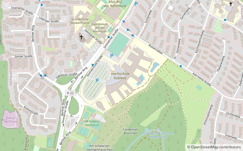
Map
Facts and practical information
Koblenz University of Applied Sciences is a public university in Rhineland-Palatinate. Although the present university was established in 1996, it has a rich tradition in higher education. The roots of today's Faculty of Materials Engineering, Glass and Ceramics in Hoehr‑Grenzhausen, come down to the 19th century. ()
Getting there by public transportation
Public transportation stops near this location
- Bus
- Train
 Bus
Bus
- Calculate routeHochschule/Konrad-Zuse-Straße 3 min walk
- Calculate routeKarthäuserhofweg 5 min walk
- Calculate routeMeißener Straße 7 min walk
- Calculate routeKoblenz-Güls 25 min walk
- Calculate routeKoblenz-Moselweiß 27 min walk
- Calculate routeKoblenz Hbf 35 min walk
Day trips


Frequently Asked Questions (FAQ)
Which popular attractions are close to Koblenz University of Applied Sciences?
Nearby attractions include German Federal Archives, Koblenz (13 min walk), Stadion Oberwerth, Koblenz (22 min walk).
How to get to Koblenz University of Applied Sciences by public transport?
The nearest stations to Koblenz University of Applied Sciences:
Bus
Train
Bus
- Hochschule/Konrad-Zuse-Straße • Lines: 2, 620, 621 (3 min walk)
- Karthäuserhofweg • Lines: 2, 2/12 (5 min walk)
Train
- Koblenz-Güls (25 min walk)
- Koblenz-Moselweiß (27 min walk)