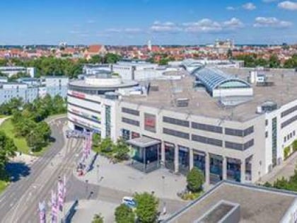
Rotes Tor, Augsburg
Map
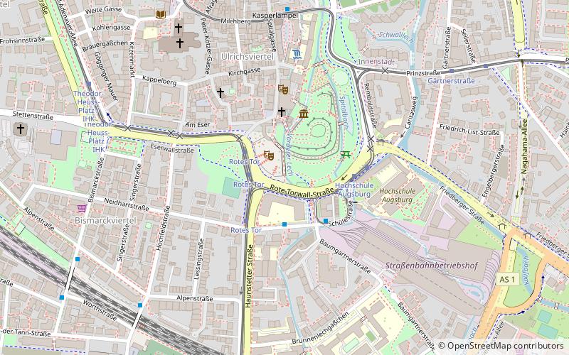
Map

Facts and practical information
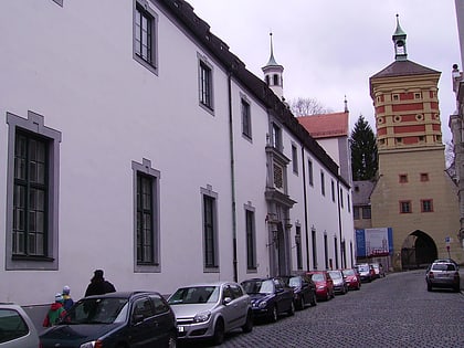
Rotes Tor - one of 14 once existing Augsburg city gates, an element of medieval defensive walls of this German city. As one of five, it was not demolished during the demolition of the city walls in the 19th century.
Address
Rotes TorInnenstadt (Lechviertel - Östliches Ulrichsviertel)Augsburg
Contact
Social media
Add
Day trips
Rotes Tor – popular in the area (distance from the attraction)
Nearby attractions include: City Hall, Basilica of SS. Ulrich and Afra, Augsburger Puppenkiste, Botanischer Garten Augsburg.
Frequently Asked Questions (FAQ)
Which popular attractions are close to Rotes Tor?
Nearby attractions include Freilichtbühne Augsburg, Augsburg (1 min walk), Schwäbisches Handwerkermuseum, Augsburg (3 min walk), Augsburger Puppenkiste, Augsburg (4 min walk), St. Ulrich's and St. Afra's Abbey, Augsburg (6 min walk).
How to get to Rotes Tor by public transport?
The nearest stations to Rotes Tor:
Tram
Bus
Train
Tram
- Rotes Tor • Lines: 2, 3, 6, 8, 9 (2 min walk)
- Hochschule Augsburg • Lines: 6 (3 min walk)
Bus
- Margaret • Lines: 22, 32, 35 (7 min walk)
- Alpenstraße • Lines: 35 (7 min walk)
Train
- Augsburg Haunstetterstraße (7 min walk)
- Augsburg Morellstraße (14 min walk)


