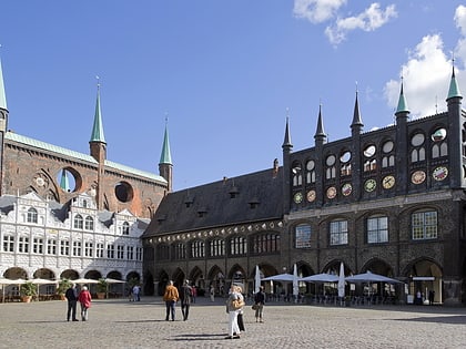
Juglans nigra, Lübeck
Map

Map

Facts and practical information
The list of natural monuments in the city of Lübeck contains the natural monuments of the independent city of Lübeck in Schleswig-Holstein.
Coordinates: 53°51'46"N, 10°41'22"E
Address
InnenstadtLübeck
ContactAdd
Social media
Add
Day trips
Juglans nigra – popular in the area (distance from the attraction)
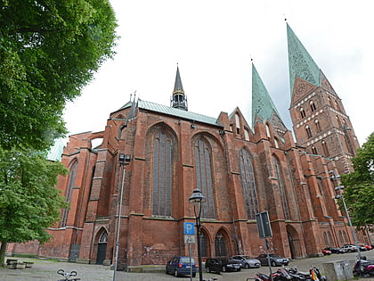
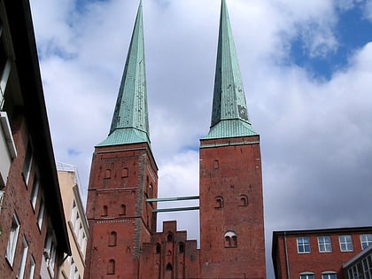
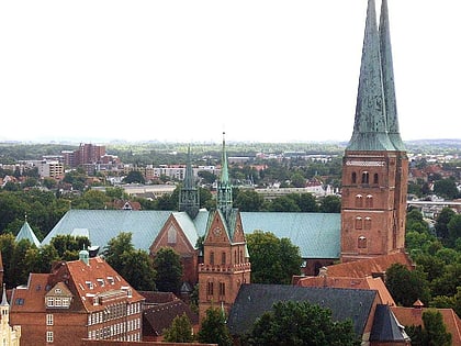
Nearby attractions include: St. Mary's Church, Lübeck Museum of Theatre Puppets, Lübeck Cathedral, Haerder Center.
Frequently Asked Questions (FAQ)
Which popular attractions are close to Juglans nigra?
Nearby attractions include St. Anne's Museum Quarter, Lübeck (1 min walk), Carlebach-Synagoge, Lübeck (1 min walk), Drei Stehende, Lübeck (1 min walk), Jordan Pleskow, Lübeck (2 min walk).
How to get to Juglans nigra by public transport?
The nearest stations to Juglans nigra:
Bus
Ferry
Train
Bus
- Fegefeuer • Lines: 1, 15, 16, 17, 2, 4, 6, 7, 8710, 8720, 9 (3 min walk)
- Hüxtertorallee • Lines: 15 (6 min walk)
Ferry
- Hansefahrt • Lines: Hansefahrt (20 min walk)
Train
- Lübeck Hauptbahnhof (23 min walk)

