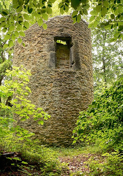
Lappwald

Gallery (4)
Map

Map
Gallery
Facts and practical information
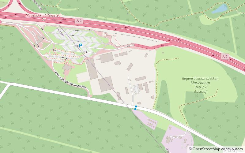
The Lappwald is a heavily wooded range of hills, 20 km long and up to 5 km wide, in central Germany. It stretches northwards from the town of Helmstedt. The border between Lower Saxony and Saxony-Anhalt runs through the woods, of which about three quarters is on Lower Saxon terrain. The Lappwald is part of the Elm-Lappwald Nature Park. ()
Location
Lower Saxony
ContactAdd
Social media
Add
Day trips