Altstädtischer Markt, Brandenburg an der Havel

Gallery (1)
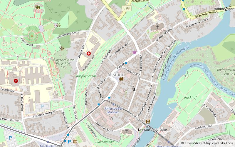
Map
Map
Facts and practical information
The Altstädtischer Markt is a central square in the old town of Brandenburg an der Havel, which has existed since the Middle Ages.
Coordinates: 52°24'51"N, 12°33'14"E
Getting there by public transportation
Public transportation stops near this location
- Bus
- Tram
- Train
 Bus
Bus
- Calculate routeParduin 2 min walk
- Calculate routePlauer Straße 3 min walk
- Calculate routeBrielower Straße 7 min walk
- Calculate routeNicolaiplatz 8 min walk
- Calculate routeRitterstraße/Museum 3 min walk
- Calculate routeJahrtausendbrücke 7 min walk
- Calculate routeNicolaiplatz 8 min walk
- Calculate routeHauptstraße 10 min walk
- Calculate routeBrandenburg Altstadt 26 min walk
- Calculate routeBrandenburg Hauptbahnhof 28 min walk
Day trips
Altstädtischer Markt – popular in the area (distance from the attraction)
Nearby attractions include: St. Peter and Paul Cathedral, St Catherine's Church, Archeological Museum at St Paul's Monastery, Brandenburg Euthanasia Centre.


Frequently Asked Questions (FAQ)
Which popular attractions are close to Altstädtischer Markt?
Nearby attractions include Roland, Brandenburg an der Havel (1 min walk), Town hall of the Old Town, Brandenburg an der Havel (1 min walk), Plauer Torturm, Brandenburg an der Havel (5 min walk), St. Johannis, Brandenburg an der Havel (5 min walk).
How to get to Altstädtischer Markt by public transport?
The nearest stations to Altstädtischer Markt:
Bus
Tram
Train
Bus
- Parduin • Lines: H/528, N1, W/540 (2 min walk)
- Plauer Straße • Lines: H/528, N1, W/540 (3 min walk)
Tram
- Ritterstraße/Museum • Lines: 6 (3 min walk)
- Jahrtausendbrücke • Lines: 6 (7 min walk)
Train
- Brandenburg Altstadt (26 min walk)
- Brandenburg Hauptbahnhof (28 min walk)