Galgenberg
Map

Map

Facts and practical information
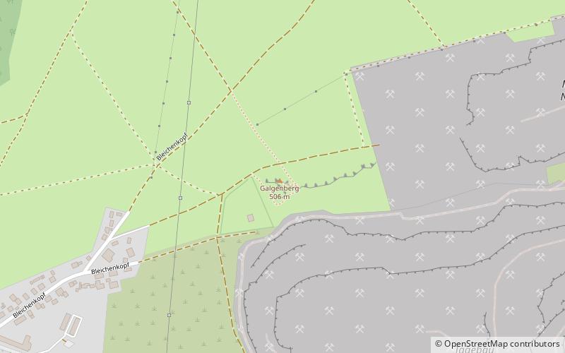
The Galgenberg is a 506.1-metre-high hill east of Elbingerode in the Harz Mountains of central Germany. It marks the highest point on the row of limestone crags found there. The old Trock Way, which ran from Quedlinburg to the imperial stronghold of Bodfeld, probably ran past the Galgenberg immediately to the north. East of the hill lies the abandoned village of Erdfelde that was closely linked to Bodfeld. ()
Location
Saxony-Anhalt
ContactAdd
Social media
Add
Day trips
Galgenberg – popular in the area (distance from the attraction)
Nearby attractions include: Baumann's Cave, Königshütte Waterfall, Hermann's Cave, Königshütte Dam.


