Klaus-Bahlsen-Brunnen, Hanover
Map

Map

Facts and practical information
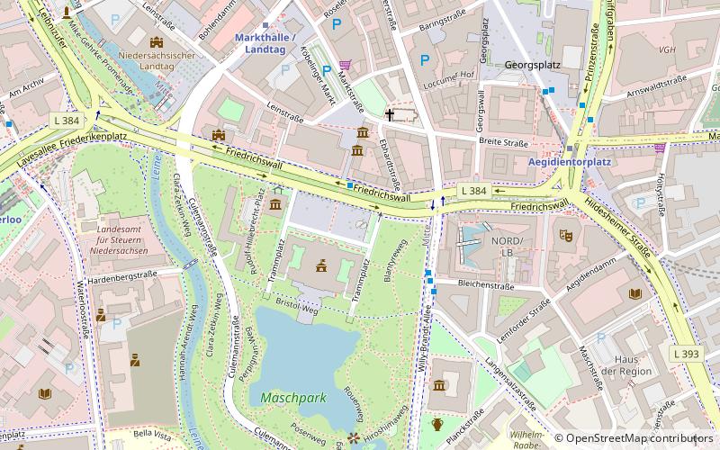
The Klaus Bahlsen Fountain stands on Trammplatz in front of the New Town Hall in Hanover. It was designed by Ludger Gerdes in 1996. It is a gift to the city from the Rut-und-Klaus-Bahlsen-Stiftung.
Coordinates: 52°22'4"N, 9°44'18"E
Address
MitteHanover
ContactAdd
Social media
Add
Day trips
Klaus-Bahlsen-Brunnen – popular in the area (distance from the attraction)
Nearby attractions include: New Town Hall, Historisches Museum Hannover, Lower Saxony State Museum, The Memorial to the Murdered Jews of Hanover.
Frequently Asked Questions (FAQ)
Which popular attractions are close to Klaus-Bahlsen-Brunnen?
Nearby attractions include Trammplatz, Hanover (1 min walk), New Town Hall, Hanover (2 min walk), Museum August Kestner, Hanover (3 min walk), Aegidienkirche, Hanover (3 min walk).
How to get to Klaus-Bahlsen-Brunnen by public transport?
The nearest stations to Klaus-Bahlsen-Brunnen:
Bus
Metro
Ferry
Tram
Train
Bus
- Rathaus/Friedrichswall • Lines: 120 (2 min walk)
- Rathaus / Bleichenstraße • Lines: 100, 200, 267, 800 (3 min walk)
Metro
- Aegidientorplatz (6 min walk)
- Markthalle/Landtag (6 min walk)
Ferry
- Nordufer/Fackelträger (10 min walk)
- Stadion (11 min walk)
Tram
- Steintor • Lines: 10, 17 (16 min walk)
- Hauptbahnhof/Rosenstraße • Lines: 10, 17 (17 min walk)
Train
- Hanover Central Station (17 min walk)
- Hannover-Linden/Fischerhof (32 min walk)


