Gräfrather Lichtturm, Solingen
Map

Map

Facts and practical information
The light tower in Solingen, North Rhine-Westphalia, is a converted former water tower. It is located in the district of Gräfrath near the highest point of the city of Solingen at approximately 276 meters above sea level. Due to its former function, it unofficially continues to bear the name Gräfrath Water Tower. The tower was built in 1904, decommissioned in 1983 and rebuilt in the mid-1990s.
Coordinates: 51°12'48"N, 7°5'5"E
Day trips
Gräfrather Lichtturm – popular in the area (distance from the attraction)
Nearby attractions include: Kunstmuseum, Deutsches Klingenmuseum, Tierpark Fauna, Evangelische Kirche Gräfrather Straße.
Frequently Asked Questions (FAQ)
Which popular attractions are close to Gräfrather Lichtturm?
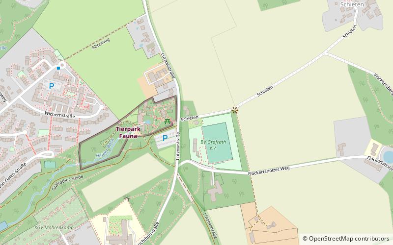
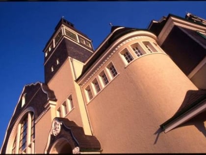
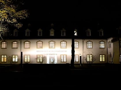
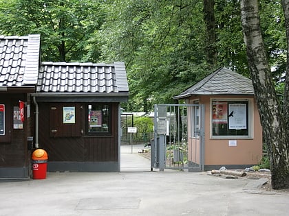
Nearby attractions include Tierpark Fauna, Solingen (2 min walk), Deutsches Klingenmuseum, Solingen (16 min walk), St. Mariä Himmelfahrt, Solingen (16 min walk), evangelische Kirche Gräfrath, Solingen (17 min walk).
How to get to Gräfrather Lichtturm by public transport?
The nearest stations to Gräfrather Lichtturm:
Bus
Trolleybus
Train
Bus
- Roßkamper Höhe • Lines: 621, Ne1 (14 min walk)
- Dasnöckel • Lines: 631, Ne1 (17 min walk)
Trolleybus
- Roßkamper Straße • Lines: 683 (18 min walk)
- Deutsches Klingenmuseum • Lines: 683 (19 min walk)
Train
- Vohwinkel Schwebebahn (36 min walk)


