Forellensteg Seedorf, Southeast Rügen Biosphere Reserve
Map

Map

Facts and practical information
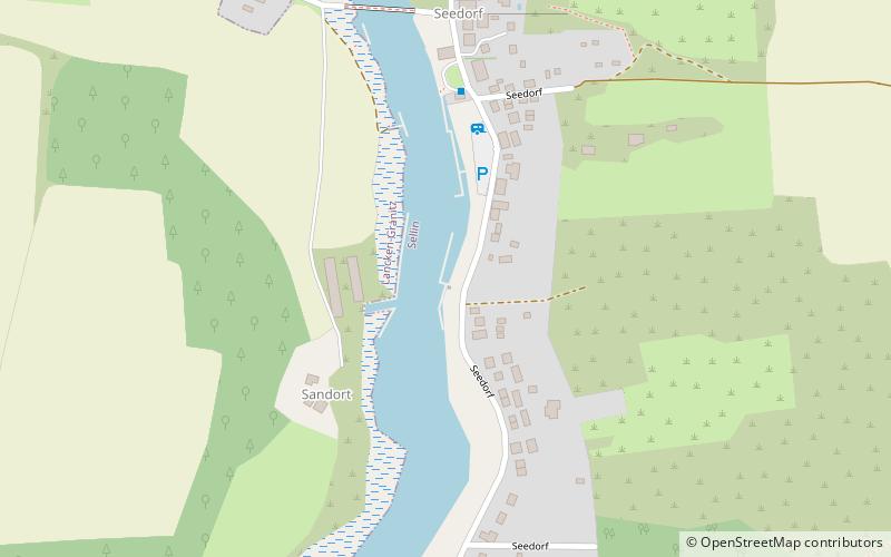
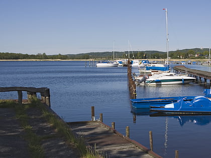
Forellensteg Seedorf (address: Dorfstraße 13 b) is a place located in Southeast Rügen Biosphere Reserve (Mecklenburg-West Pomerania state) and belongs to the category of sailing, marina.
It is situated at an altitude of 0 feet, and its geographical coordinates are 54°21'8"N latitude and 13°39'10"E longitude.
Among other places and attractions worth visiting in the area are: Sankt Andreas (church, 35 min walk), Lancken-Granitz dolmens (archaeological site, 40 min walk), Selliner See (nature, 43 min walk).
Coordinates: 54°21'8"N, 13°39'10"E
Day trips
Forellensteg Seedorf – popular in the area (distance from the attraction)
Nearby attractions include: Jagdschloss Granitz, Hauptstrand, Schwarzer See, Mönchgut Coastal Fishing Museum.


