SV Höslwang, Höslwang

Gallery (1)
Map
Map
Facts and practical information
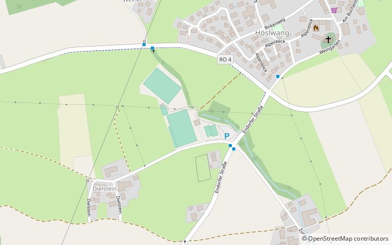
SV Höslwang (address: Endorfer Straße 6) is a place located in Höslwang (Bavaria ) and belongs to the category of sightseeing.
It is situated at an altitude of 1873 feet, and its geographical coordinates are 47°57'4"N latitude and 12°19'25"E longitude.
Among other places and attractions worth visiting in the area are: Golf Club Höslwang im Chiemgau (outdoor activities, 27 min walk), Halfing (locality, 56 min walk), Schloss Amerang, Amerang (forts and castles, 58 min walk).
Coordinates: 47°57'4"N, 12°19'25"E
Address
Endorfer Straße 6Höslwang
ContactAdd
Social media
Add
Day trips