Ludwigstraße, Munich
Map

Gallery

Facts and practical information
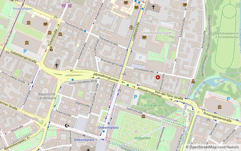
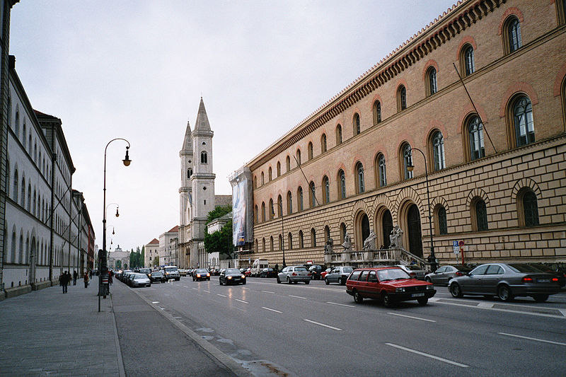
The Ludwigstraße in Munich is one of the city's four royal avenues next to the Brienner Straße, the Maximilianstraße and the Prinzregentenstraße. Principal was King Ludwig I of Bavaria, the avenue is named in his honour. The city's grandest boulevard with its public buildings still maintains its architectural uniformity envisioned as a grand street "worthy the kingdom" as requested by the king. The Ludwigstraße has served also for state parades and funeral processions. ()
Alternative names: Architectural style: Renaissance revival, Romanesque revivalCoordinates: 48°8'44"N, 11°34'44"E
Address
Maxvorstadt (Universität)Munich
ContactAdd
Social media
Add
Day trips
Ludwigstraße – popular in the area (distance from the attraction)
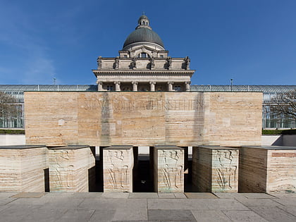
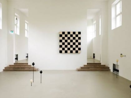
Nearby attractions include: Museum Brandhorst, Dianatempel, Pinakothek der Moderne, Feldherrnhalle.
Frequently Asked Questions (FAQ)
Which popular attractions are close to Ludwigstraße?
Nearby attractions include Staatsarchiv München, Munich (2 min walk), Palais Leuchtenberg, Munich (3 min walk), Leuchtenberg Gallery, Munich (3 min walk), Altstadtringtunnel, Munich (4 min walk).
How to get to Ludwigstraße by public transport?
The nearest stations to Ludwigstraße:
Bus
Metro
Tram
Train
Bus
- Von-der-Tann-Straße • Lines: 100, 153, 58, N40, N41, N45 (1 min walk)
- Oskar-von-Miller-Ring • Lines: 100, 58 (5 min walk)
Metro
- Odeonsplatz • Lines: U3, U4, U5, U6 (5 min walk)
- Universität • Lines: U3, U6 (9 min walk)
Tram
- Pinakotheken • Lines: 27, 28, N27 (11 min walk)
- Karolinenplatz • Lines: 27, 28, N27 (11 min walk)
Train
- Marienplatz (16 min walk)
- Karlsplatz (19 min walk)


