Stadtturm, Kronach
Map

Gallery

Facts and practical information
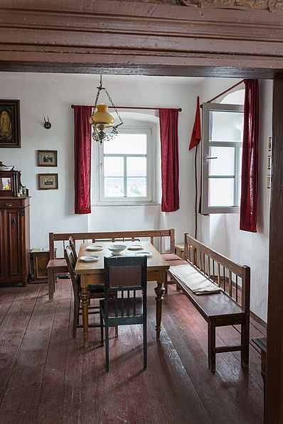
The city tower is a part of the former fortifications of the Upper Franconian city of Kronach in Bavaria. It served as a watchtower and fire watch until the early 20th century.
Coordinates: 50°14'34"N, 11°19'32"E
Address
5 FestungsstraßeKronach
ContactAdd
Social media
Add
Day trips
Stadtturm – popular in the area (distance from the attraction)
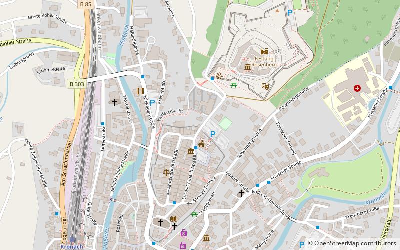
Nearby attractions include: Festung Rosenberg, Fränkische Galerie, Christ Church, Michaelsbrunnen.
Frequently Asked Questions (FAQ)
Which popular attractions are close to Stadtturm?
Nearby attractions include Michaelsbrunnen, Kronach (2 min walk), Fränkische Galerie, Kronach (4 min walk), Festung Rosenberg, Kronach (4 min walk), Christ Church, Kronach (4 min walk).
How to get to Stadtturm by public transport?
The nearest stations to Stadtturm:
Bus
Train
Bus
- Auf der Schütt • Lines: 1 - Stadtbus Kronach Fahrrunde 2 (4 min walk)
- Kronach Busbahnhof • Lines: 1 - Stadtbus Kronach Fahrrunde 1, 1 - Stadtbus Kronach Fahrrunde 2 (8 min walk)
Train
- Kronach (9 min walk)


