Bärwalder See

Gallery (1)
Map
Map
Facts and practical information
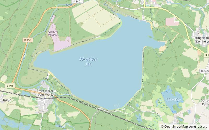
Bärwalder See is a lake in Boxberg municipality, Görlitz district, Saxony, Germany. At an elevation of 125 m, its surface area is 12.99 km². ()
Alternative names: Area: 5.02 mi²Maximum depth: 164 ftElevation: 390 ft a.s.l.Coordinates: 51°22'36"N, 14°32'52"E
Location
Saxony
ContactAdd
Social media
Add
Day trips

