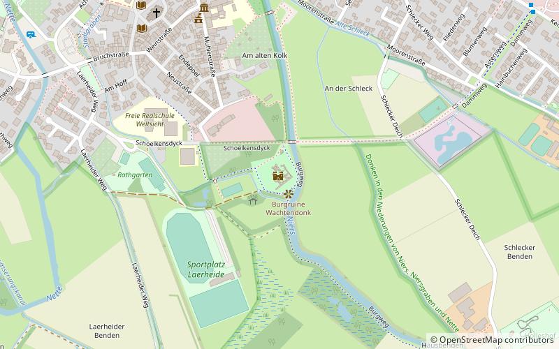
Burgruine Wachtendonk, Wachtendonk


Facts and practical information
Wachtendonk Castle is the ruin of a lowland castle and is located on the left bank of the Niers River in a small wooded area on the southern edge of the Lower Rhine town of Wachtendonk. The history of the site is strongly interwoven with the town and fortress of Wachtendonk, which were always strongly contested due to their location on the extreme eastern border of the Duchy of Guelders. In the 16th and 17th centuries, the castle and fortress were the most important military location in the upper quarter of Guelders.
As early as the 14th century, a castle was documented for Wachtendonk, which was located at an important crossing of the Niers. First a Gelderian fief, then a Gelderian provincial castle, in the 15th century the site temporarily came to the Duchy of Cleves, before it once again belonged to Gelder. During the Eighty Years' War, the castle was temporarily in the hands of the Dutch States General and temporarily in the hands of Imperial Spanish troops. During a conquest in 1603 it was probably so badly damaged that it was not rebuilt.
In the 1960s, the foundations of the castle complex were uncovered during excavations and partially rebuilt. Today, the ruins are freely accessible at all times.
Wachtendonk
Burgruine Wachtendonk – popular in the area (distance from the attraction)
Nearby attractions include: wasserstraelen, Niederrheinisches Freilichtmuseum, Kuhtor, Georgsbrunnen.


