Jewish Cemetery, Haßloch

Gallery (1)
Map
Map
Facts and practical information
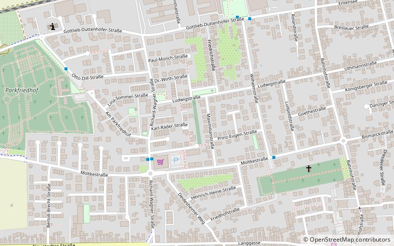
The Jewish cemetery in Haßloch, a community in the district of Bad Dürkheim in Rhineland-Palatinate, was established in 1821. The Jewish cemetery in the north of the village, between Dr.-Siebenpfeiffer-Strasse, Maximilianstrasse and Ludwigstrasse, is a protected cultural monument.
Local name: Jüdischer FriedhofCoordinates: 49°22'1"N, 8°14'57"E
Address
Haßloch
ContactAdd
Social media
Add
Day trips