Mahnmal Judendeportation, Walldürn

Gallery (1)
Map
Map
Facts and practical information
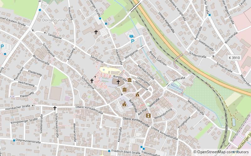
Mahnmal Judendeportation is a place located in Walldürn (Baden-Württemberg state) and belongs to the category of memorial.
It is situated at an altitude of 1332 feet, and its geographical coordinates are 49°35'5"N latitude and 9°22'0"E longitude.
Among other places and attractions worth visiting in the area are: Wallfahrtsbasilika St. Georg zum Heiligen Blut (church, 1 min walk), Stadtturm, Buchen (tower, 121 min walk), Wartturm, Buchen (view point, 130 min walk).
Coordinates: 49°35'5"N, 9°22'0"E
Address
Walldürn
ContactAdd
Social media
Add
Day trips


