Elbe–Lübeck Canal
Map

Map

Facts and practical information
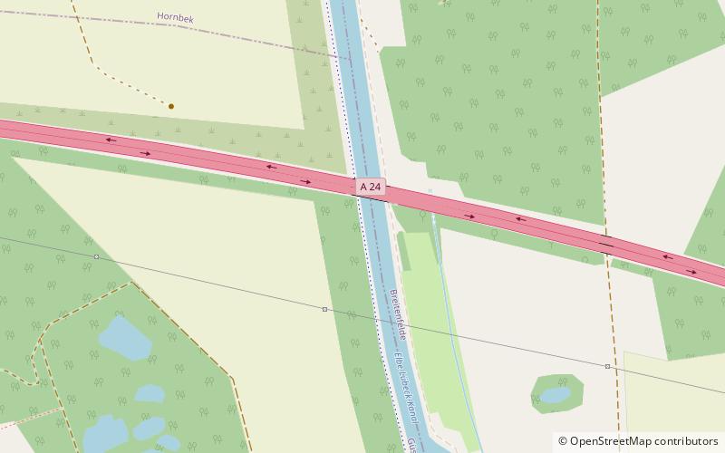
The Elbe–Lübeck Canal is an artificial waterway in eastern Schleswig-Holstein, Germany. It connects the rivers Elbe and Trave, creating an inland water route across the drainage divide from the North Sea to the Baltic Sea. The canal includes seven locks and runs for a length of 64 kilometres between the cities of Lübeck in the north and Lauenburg in the south by way of the Mölln lakes. The modern canal was built in the 1890s to replace the Stecknitz Canal, a medieval watercourse linking the same two rivers. ()
Location
Schleswig-Holstein
ContactAdd
Social media
Add
Day trips
Elbe–Lübeck Canal – popular in the area (distance from the attraction)
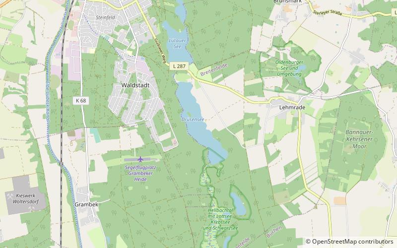
Nearby attractions include: Krebssee, Drüsensee, Mary's Church, Breitenfelde.


