Moselle Viaduct
Map

Map

Facts and practical information
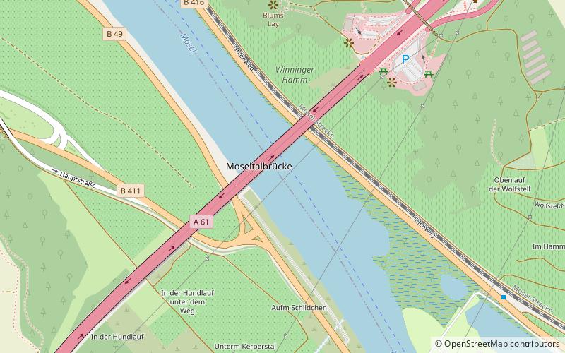
The Moselle Viaduct carries the Bundesautobahn 61 over a meander of the river Moselle, connecting the Hunsrück and Eifel mountain ranges. It was built between 1969 and 1972 between the German villages Winningen and Dieblich, about 10 kilometres southwest of Koblenz, where the river Moselle flows into the river Rhine. ()
Local name: Moseltalbrücke Completed: 1972 (54 years ago)Length: 3068 ftWidth: 100 ftHeight: 446 ftCoordinates: 50°18'52"N, 7°29'41"E
Location
Rhineland-Palatinate
ContactAdd
Social media
Add
Day trips
Moselle Viaduct – popular in the area (distance from the attraction)
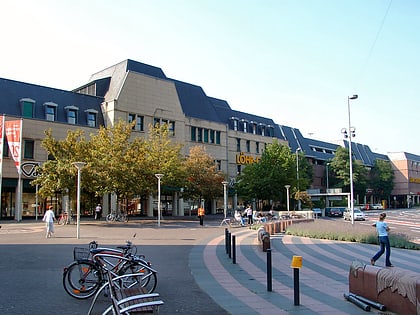
Nearby attractions include: Schloss Stolzenfels, Burg Thurant, Löhr-Center, German Federal Archives.


