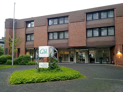
Freizeitpark Rheinaue, Bonn
Map
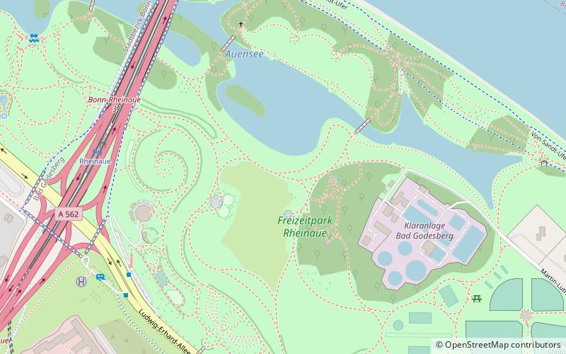
Map

Facts and practical information
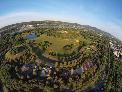
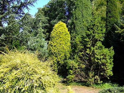
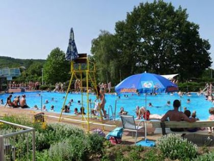
The Rheinaue recreational park, known by locals only as "the Rheinaue", is a 160 ha recreational area in Bonn laid out as a park. The basic features of the park were created on the occasion of the 1979 Federal Horticultural Show south of the Bonn Gronau, a then undeveloped and agriculturally used floodplain.
Elevation: 177 ft a.s.l.Coordinates: 50°42'41"N, 7°8'42"E
Day trips
Freizeitpark Rheinaue – popular in the area (distance from the attraction)
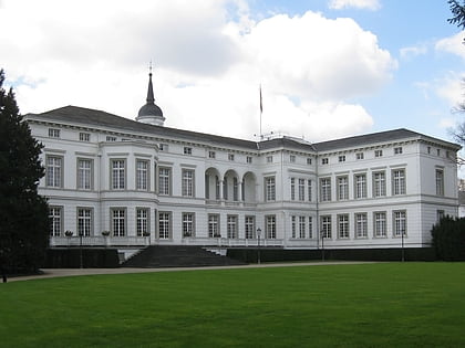
Nearby attractions include: Kunstmuseum Bonn, Palais Schaumburg, Kunst- und Ausstellungshalle der Bundesrepublik Deutschland, Haus der Geschichte.
Frequently Asked Questions (FAQ)
Which popular attractions are close to Freizeitpark Rheinaue?
Nearby attractions include Beethoven-Denkmal, Bonn (5 min walk), Bismarckturm Bonn-Gronau, Bonn (12 min walk), Philatelic Archive in Bonn, Bonn (12 min walk), Gustav Stresemann Institute, Bonn (14 min walk).
How to get to Freizeitpark Rheinaue by public transport?
The nearest stations to Freizeitpark Rheinaue:
Tram
Bus
Train
Light rail
Tram
- Rheinaue • Lines: 66, 68 (7 min walk)
- Robert-Schuman-Platz • Lines: 66, 68 (12 min walk)
Bus
- Rheinaue Parkrestaurant • Lines: 610, 611, N10 (7 min walk)
- Rheinaue Hauptzugang • Lines: 610, 611, 631, N10 (9 min walk)
Train
- Bonn-Oberkassel (18 min walk)
- Bonn UN Campus (31 min walk)
Light rail
- Olof-Palme-Allee • Lines: 16, 63, 66, 67, 68 (18 min walk)
- Max-Löbner-Straße • Lines: 16, 63, 67 (20 min walk)
