Oberrieder Weiher
Map

Map

Facts and practical information
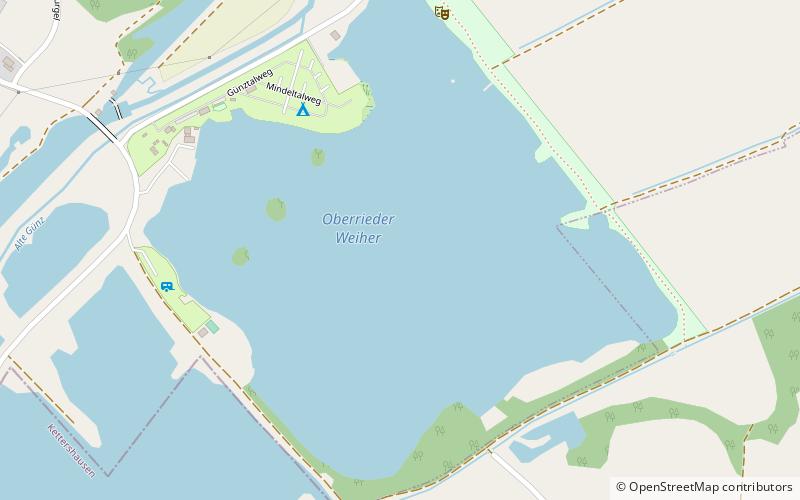
The Oberrieder Weiher is like many other ponds in the valleys of Günz and Mindel a former gravel pit which is filled with ground water. The pond is located near the river Günz in the municipality of Breitenthal in the district of Günzburg. Because of this origin as gravel pit the form of the Oberrieder Weiher is nearly a square, covering 34.7 hectares. Sometimes it is said that it is the biggest flooded gravel pit in Bavarian Swabia. ()
Location
Bavaria
ContactAdd
Social media
Add
Day trips
Oberrieder Weiher – popular in the area (distance from the attraction)
Nearby attractions include: Kloster Roggenburg, Edelstetten Abbey, Sankt Ulrich, Mittelschwäbisches Heimatmuseum.


