Westfriedhof, Munich
Map
Gallery
Facts and practical information
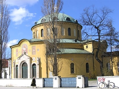
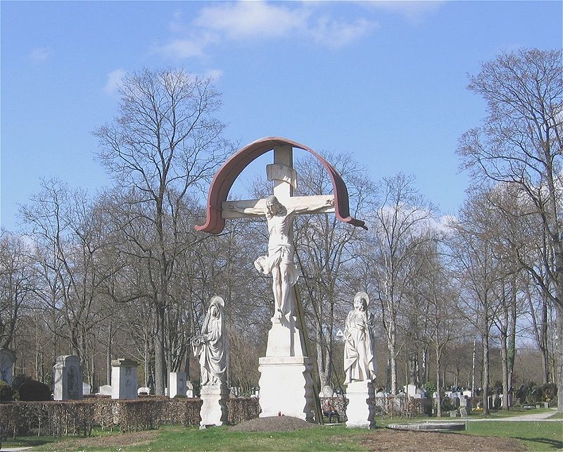
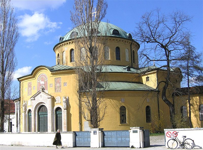
The Westfriedhof in Munich is situated in the south of the city district of Moosach. The main entrance is at Baldurstraße 28. The cemetery was laid out in 1898; the buildings, by the architect Hans Grässel, were completed in 1902. The Westfriedhof contains over 40,000 grave plots. The monuments in the principal avenue, many of them by the Munich sculptor Heinrich Waderé, are especially imposing. ()
Day trips
Westfriedhof – popular in the area (distance from the attraction)
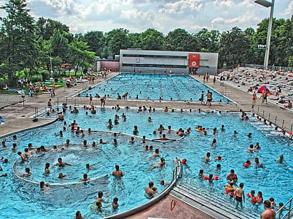
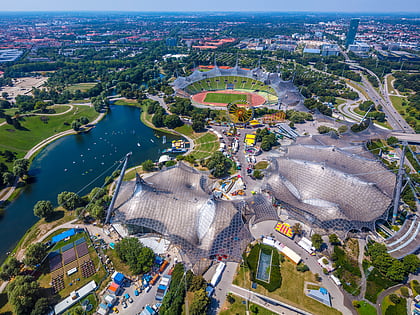
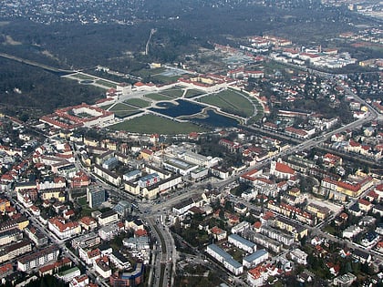
Nearby attractions include: Nymphenburg Palace, Botanical Garden Munich-Nymphenburg, Olympia-Einkaufszentrum, Dantebad.
Frequently Asked Questions (FAQ)
Which popular attractions are close to Westfriedhof?
Nearby attractions include Hochhaus Uptown München, Munich (16 min walk), Pelkovenstraße, Munich (19 min walk), Hanauer Straße, Munich (19 min walk), Landshuter Allee, Munich (22 min walk).
How to get to Westfriedhof by public transport?
The nearest stations to Westfriedhof:
Bus
Tram
Metro
Train
Bus
- Sadelerstraße • Lines: 151, 164, 165, 180 (5 min walk)
- Wintrichring • Lines: 143 (7 min walk)
Tram
- Hanauer Straße • Lines: 20, N20 (8 min walk)
- Wintrichring • Lines: 20, N20 (9 min walk)
Metro
- Westfriedhof • Lines: U1, U7 (8 min walk)
- Georg-Brauchle-Ring • Lines: U1, U7 (14 min walk)
Train
- Moosach (25 min walk)
