Mensinger Ravine, Lübbecke

Facts and practical information
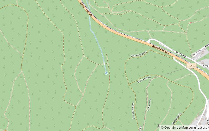
The Mensinger Ravine is a steep-sided valley in the Wiehen Hills in Central Germany that is situated on the territory of the town of Lübbecke in the district of Minden-Lübbecke. The ravine begins on the eastern slopes of the Wurzelbrink hill and runs northwards from there in a curve as far as the B 239 federal road. The ravine is around 800 metres long. The valley floor in its upper section lies at a height of around 210 m above NN and drops to 150 m above NN at the end of the valley, where the source of the Ronceva stream is found. In the ravine itself, although it was formed by erosive influences, there is no permanent stream - only during heavy rainfall at the "upper reaches of the Ronceva", so to speak, does any water flow. The valley floor itself is impassable on foot in places. However, immediately to the east is a forest track, that enables the valley to be walked from end to end in 15 minutes. The ravine is forested throughout. ()
Lübbecke
Mensinger Ravine – popular in the area (distance from the attraction)
Nearby attractions include: Reineberg, St. Andrew's Church, Wurzelbrink, Heidbrink.


