Spatenberg, Sondershausen
Map

Gallery

Facts and practical information
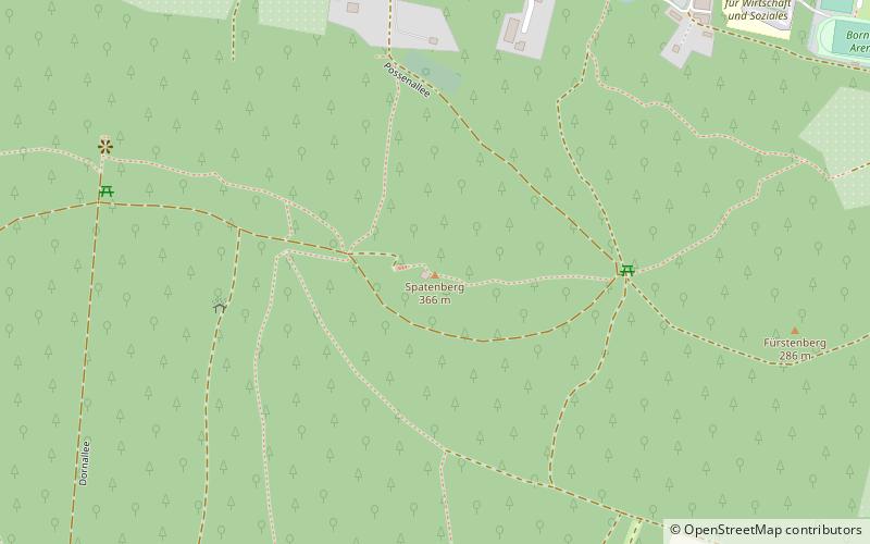
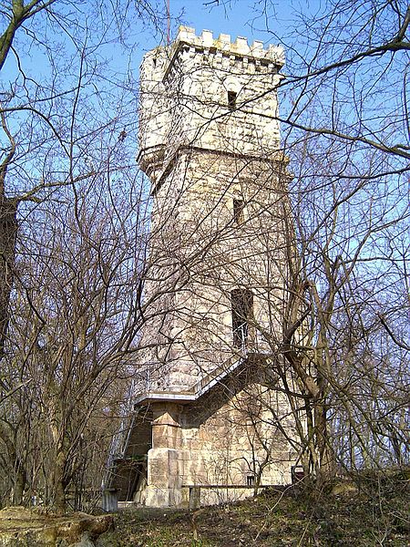
The Spatenberg is a cone-shaped limestone mountain with a height of 366.1 m above sea level on the southern edge of the district town of Sondershausen in Thuringia. It bears the remains of a castle of King Henry IV and the Spatenberg Tower, built in 1895 as a Bismarck tower.
Coordinates: 51°21'27"N, 10°52'12"E
Address
Sondershausen
ContactAdd
Social media
Add
Day trips
Spatenberg – popular in the area (distance from the attraction)
Nearby attractions include: Schloss Sondershausen, Bergbad - Sonnenblick, Church of the Holy Trinity, Cruciskirche.
Frequently Asked Questions (FAQ)
Which popular attractions are close to Spatenberg?
Nearby attractions include Jewish Cemetery, Sondershausen (5 min walk), Ehrenmal des Sondershäuser Verbandes, Sondershausen (8 min walk), Church of the Holy Trinity, Sondershausen (23 min walk).


