Limes Germanicus
Map
Gallery

Facts and practical information
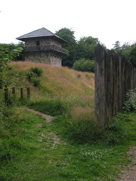
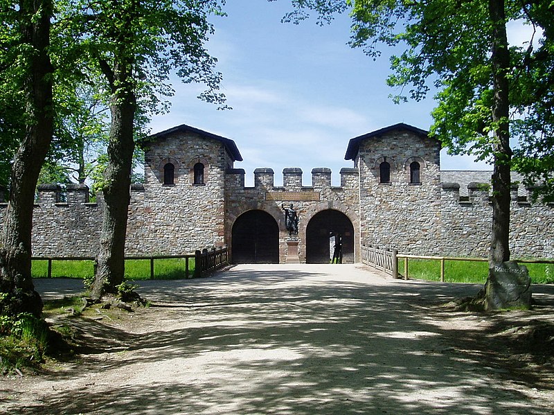
The Limes Germanicus is the name given in modern times to a line of frontier fortifications that bounded the ancient Roman provinces of Germania Inferior, Germania Superior and Raetia, dividing the Roman Empire and the unsubdued Germanic tribes from the years 83 to about 260 AD. The Limes used either a natural boundary such as a river or typically an earth bank and ditch with a wooden palisade and watchtowers at intervals. A system of linked forts was built behind the Limes. ()
Location
Rhineland-Palatinate
ContactAdd
Social media
Add
Day trips
Limes Germanicus – popular in the area (distance from the attraction)
Nearby attractions include: Burg Nassau, Kloster Arnstein, Emser Therme, Langenau Castle.


