Lemberg

Gallery (1)
Map
Map
Facts and practical information
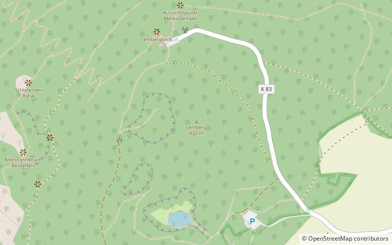
The Lemberg is a hill on the river Nahe between the villages of Niederhausen, Oberhausen an der Nahe and Feilbingert. At 422 metres, it is the highest hill on the Nahe. ()
Location
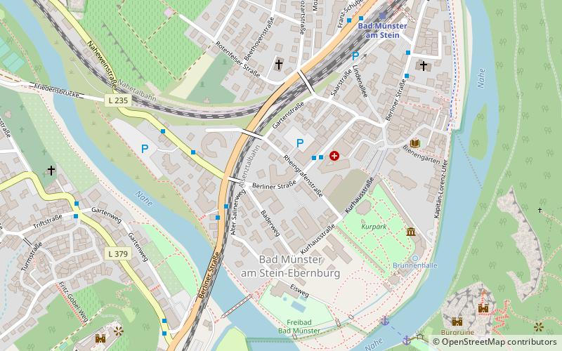
Rhineland-Palatinate
ContactAdd
Social media
Add
Day trips