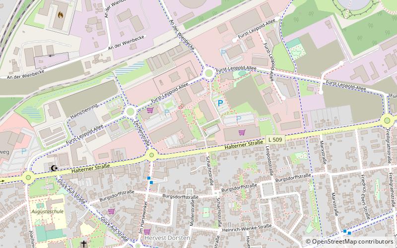
ehemalige Zeche Fürst Leopold, Dorsten
Map

Map

Facts and practical information
The Fürst Leopold mine was a coal mine in the Hervest district of Dorsten.
Elevation: 125 ft a.s.l.Coordinates: 51°40'18"N, 6°59'1"E
Day trips
ehemalige Zeche Fürst Leopold – popular in the area (distance from the attraction)
Nearby attractions include: Jüdisches Museum Westfalen, St. Agatha-Kirche, Ice Rink, Klettergarten Treffpunkt Altstadt.
Frequently Asked Questions (FAQ)
Which popular attractions are close to ehemalige Zeche Fürst Leopold?
Nearby attractions include Lore, Dorsten (1 min walk), Brunnen, Dorsten (1 min walk).
How to get to ehemalige Zeche Fürst Leopold by public transport?
The nearest stations to ehemalige Zeche Fürst Leopold:
Bus
Train
Bus
- Im Harsewinkel • Lines: 208, 274, Ne8 (4 min walk)
- An der Landwehr • Lines: 208, 274, Ne8 (7 min walk)
Train
- Hervest-Dorsten (11 min walk)
- Dorsten (28 min walk)


