Nagelsäule, Mainz
Map

Map

Facts and practical information
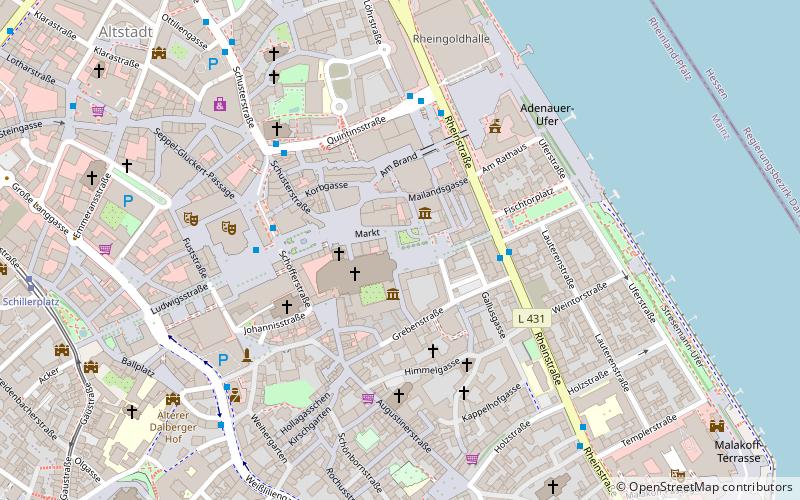
The Nagelsäule in Mainz is a column erected during World War I on Liebfrauenplatz in front of the east side of Mainz Cathedral, as part of a German propaganda and fundraising campaign as a war nail.
Coordinates: 49°59'57"N, 8°16'29"E
Address
Liebfrauen PlatzMainz
ContactAdd
Social media
Add
Day trips
Nagelsäule – popular in the area (distance from the attraction)
Nearby attractions include: Mainz Cathedral, Mainz Citadel, Osteiner Hof, St. Stephan.
Frequently Asked Questions (FAQ)
Which popular attractions are close to Nagelsäule?
Nearby attractions include Mainz Cathedral, Mainz (1 min walk), Mainzer Domchor, Mainz (1 min walk), Liebfrauenplatz, Mainz (1 min walk), Marktbrunnen, Mainz (1 min walk).
How to get to Nagelsäule by public transport?
The nearest stations to Nagelsäule:
Bus
Tram
Train
Bus
- Fischtor • Lines: 60, 61, 63, 90 (3 min walk)
- Höfchen/Listmann • Lines: 28, 54, 55, 56, 57, 58, 60, 61, 62, 63, 64, 65, 66, 68, 70, 71, 78, 91, 93 (4 min walk)
Tram
- Schillerplatz • Lines: 50, 52, 53 (10 min walk)
- Münsterplatz • Lines: 50, 52, 53 (14 min walk)
Train
- Mainz Römisches Theater (12 min walk)
- Mainz-Kastel (17 min walk)


