Stadtgarten Essen, Essen
Map
Gallery
Facts and practical information
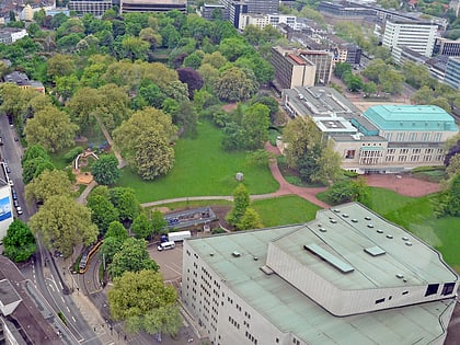
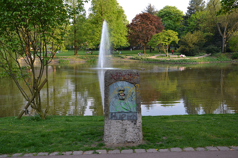
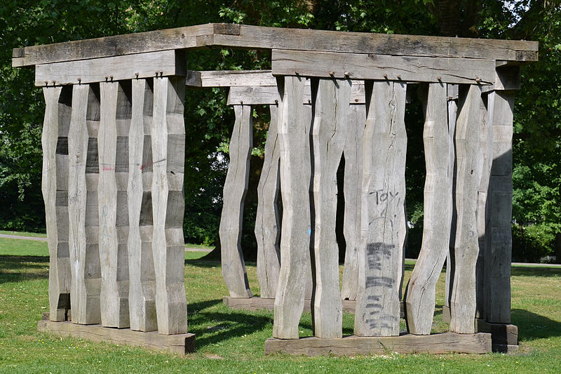
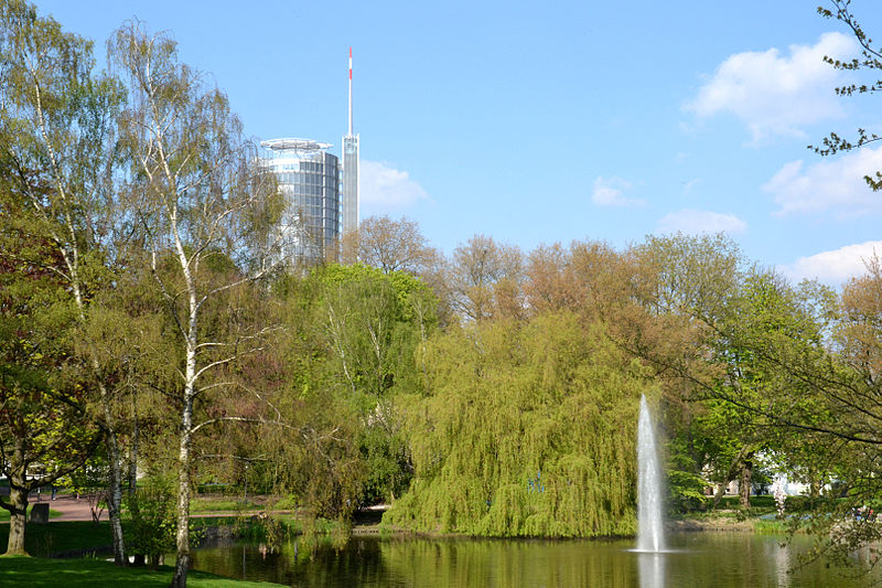
The Stadtgarten Essen is Essen's oldest publicly accessible green space. It is located south of Essen's main train station in the Südviertel district, between the Aalto Theater, the Philharmonie and the adjacent Rüttenscheid district.
The beginnings of the park date back to 1859. In 1877, the Bürgerpark became the first public park in Essen to be transferred to municipal ownership. Since 1881 it has borne the name Stadtgarten.
Elevation: 338 ft a.s.l.Coordinates: 51°26'43"N, 7°0'42"E
Day trips
Stadtgarten Essen – popular in the area (distance from the attraction)
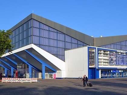
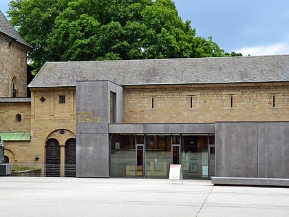
Nearby attractions include: Museum Folkwang, Grugahalle, Lichtburg, Essen Cathedral Treasury.
Frequently Asked Questions (FAQ)
Which popular attractions are close to Stadtgarten Essen?
Nearby attractions include Philharmonie Essen, Essen (2 min walk), Aalto-Theater, Essen (4 min walk), ChorForum, Essen (5 min walk), RWE Tower, Essen (6 min walk).
How to get to Stadtgarten Essen by public transport?
The nearest stations to Stadtgarten Essen:
Bus
Metro
Tram
Train
Bus
- Hohenzollernstraße • Lines: 145 (3 min walk)
- Philharmonie • Lines: Ne13, Ne8 (4 min walk)
Metro
- Philharmonie • Lines: U11 (4 min walk)
- Essen Hauptbahnhof • Lines: U11, U17, U18 (9 min walk)
Tram
- Philharmonie • Lines: 107, 108 (4 min walk)
- Aalto-Theater • Lines: 101, 105, 106 (4 min walk)
Train
- Essen Hauptbahnhof (12 min walk)
- Gemarkenplatz (17 min walk)
