Klever Reichswald

Gallery (3)
Map
Map
Gallery
Facts and practical information
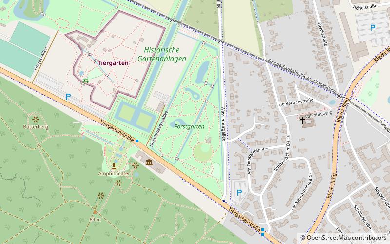
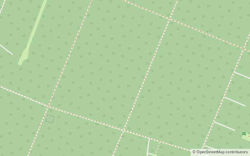
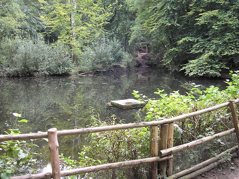
The Klever Reichswald is an Imperial forest in North Rhine-Westphalia between the rivers Rhine and Meuse at the German–Dutch border. The forest is located in the municipal territory of Kleve, Goch, Kranenburg and Bedburg-Hau. It is the largest coherent wooded area of the lower Rhine and the largest coherent public state forest of North Rhine-Westphalia with an area of 51 km2. ()
Location
North Rhine-Westphalia
ContactAdd
Social media
Add
Day trips