Tannenbusch, Bonn
Map
Map

Facts and practical information
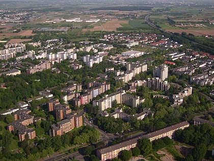
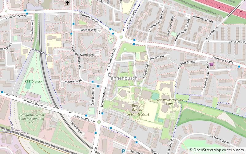
Tannenbusch is a section of Bonn, Germany with approx. 17,000 inhabitants. It is split between the subsections Alt-Tannenbusch and Neu-Tannenbusch. The roads in Tannenbusch are almost exclusively named after places in the former GDR and former eastern territories of Germany. Around 1949 – 1960 there was a US military camp in Tannenbusch. ()
Address
Bonn (Tannenbusch)Bonn
ContactAdd
Social media
Add
Day trips
Tannenbusch – popular in the area (distance from the attraction)
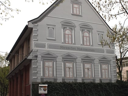
Nearby attractions include: LVR LandesMuseum Bonn, Frauenmuseum, Burg Graurheindorf, Rheinisches Malermuseum.
Frequently Asked Questions (FAQ)
Which popular attractions are close to Tannenbusch?
Nearby attractions include Tannenbusch Dunes, Bonn (12 min walk), Burg Dransdorf, Bonn (19 min walk).
How to get to Tannenbusch by public transport?
The nearest stations to Tannenbusch:
Bus
Light rail
Tram
Train
Bus
- Riesengebirgsstraße • Lines: 601, 602, 631, N1 (2 min walk)
- Stolpstraße • Lines: 602, N1 (3 min walk)
Light rail
- Tannenbusch Süd • Lines: 16, 63 (10 min walk)
- Propsthof Nord • Lines: 16, 63 (27 min walk)
Tram
- Tannenbusch Süd • Lines: 16, 63 (10 min walk)
- Robert-Kirchhoff-Straße • Lines: 18, 68 (17 min walk)
Train
- Bonn-Endenich Nord (23 min walk)
