Mariannenpark, Leipzig
Map

Gallery

Facts and practical information
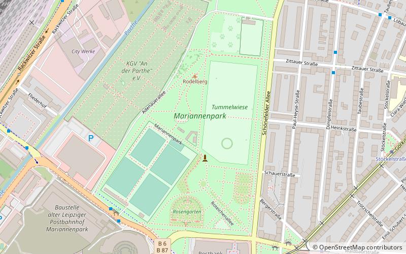
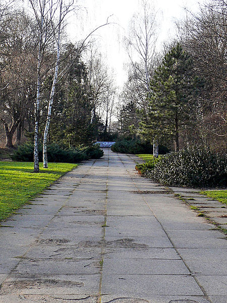
Mariannenpark is a 22.3-hectare park in Leipzig-Schönefeld. It was built from 1913 on the lands of the former Schönefeld manor, completed in 1928 and redesigned several times in the second half of the 20th century.
Elevation: 374 ft a.s.l.Coordinates: 51°21'16"N, 12°24'13"E
Day trips
Mariannenpark – popular in the area (distance from the attraction)
Nearby attractions include: St. Nicholas Church, Gewandhaus, Hauptbahnhof, Stadtbad.
Frequently Asked Questions (FAQ)
Which popular attractions are close to Mariannenpark?
Nearby attractions include Nordfriedhof, Leipzig (15 min walk), Leipzig-Schönefeld, Leipzig (15 min walk).
How to get to Mariannenpark by public transport?
The nearest stations to Mariannenpark:
Bus
Tram
Train
Bus
- Zittauer Straße • Lines: 77 (7 min walk)
- Stannebeinplatz • Lines: 70, 77 (8 min walk)
Tram
- Stannebeinplatz • Lines: 1 (8 min walk)
- Stöckelstraße • Lines: 1 (9 min walk)
Train
- Leipzig Nord (18 min walk)
- Leipzig-Sellerhausen (28 min walk)


