Harkortberg, Wetter


Facts and practical information
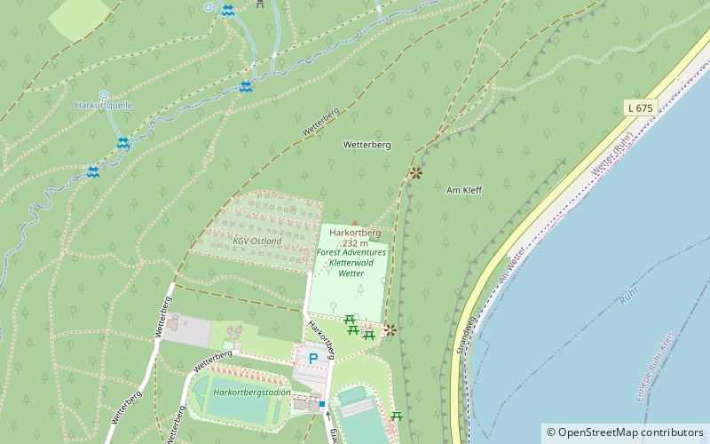
The Harkortberg is a 231.6-meter-high and about 1.5 km long southern spur of the ridge Auf dem Heil in the Ardeygebirge. It is located in the district of Alt-Wetter of Wetter in the German state of North Rhine-Westphalia.
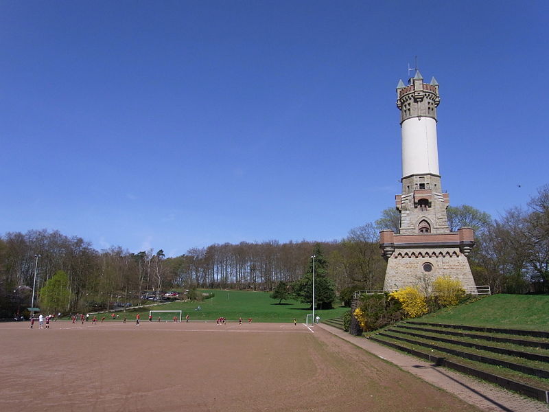
The elevation, formerly simply called Wetterberg, is named after the industrial pioneer Friedrich Harkort, as is the Harkort Tower that stands on it. The old name is still found today in the street name Wetterberg: This two-part path on the western slope of the mountain leads over a kilometer far into the forest, in the last section as a non-public forest road. On the mountain is a recreational area with sports fields, a climbing forest and lookout points, which is accessed via the public road Harkortberg.
Wetter
Harkortberg – popular in the area (distance from the attraction)
Nearby attractions include: Reformed Church, Luther Church, Church of Sts. Peter and Paul, Rathaus Wetter.
Frequently Asked Questions (FAQ)
Which popular attractions are close to Harkortberg?
How to get to Harkortberg by public transport?
Bus
- Waldstadion / Kletterwald • Lines: Bb 1 (5 min walk)
- Waldenburger Straße • Lines: Bb 1 (10 min walk)
Train
- Wetter (22 min walk)


