Bethlehem-Kirche, Kiel
Map

Map

Facts and practical information
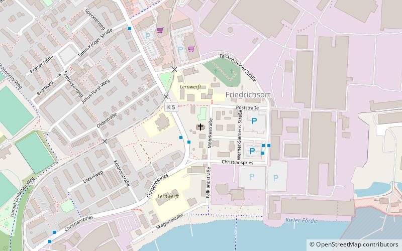
The Bethlehem Church is a Protestant church in Kiel-Friedrichsort.
Coordinates: 54°23'32"N, 10°10'37"E
Day trips
Bethlehem-Kirche – popular in the area (distance from the attraction)
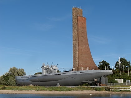
Nearby attractions include: Laboe Naval Memorial, Kieler Yacht-Club, Möltenort U-Boat Memorial, Christianspris.
Frequently Asked Questions (FAQ)
How to get to Bethlehem-Kirche by public transport?
The nearest stations to Bethlehem-Kirche:
Bus
Ferry
Bus
- An der Schanze • Lines: 12N, 13, 745, 91 (1 min walk)
- Falckensteiner Straße • Lines: 745, 91 (4 min walk)
Ferry
- Falckenstein • Lines: F1 (22 min walk)


