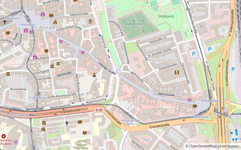
Leipziger Straße, Halle


Facts and practical information
Leipziger Straße (address: Leipziger Straße) is a place located in Halle (Saxony-Anhalt state) and belongs to the category of observation decks and towers.
It is situated at an altitude of 331 feet, and its geographical coordinates are 51°28'49"N latitude and 11°58'35"E longitude.
Planning a visit to this place, one can easily and conveniently get there by public transportation. Leipziger Straße is a short distance from the following public transport stations: Am Leipziger Turm (tram, 4 min walk), Franckeplatz (bus, 8 min walk), Halle Hauptbahnhof (train, 13 min walk).
Among other places and attractions worth visiting in the area are: Stadtgottesacker (cemetery, 5 min walk), Fahnenmonument (monuments and statues, 7 min walk), Francke Foundations (historical place, 7 min walk).
Leipziger StraßeStadtbezirk Mitte (Nördliche Innenstadt)Halle
Leipziger Straße – popular in the area (distance from the attraction)
Nearby attractions include: Moritzburg, Marktkirche Unser Lieben Frauen, Handel House, Wilhelm Friedemann Bach House.
Frequently Asked Questions (FAQ)
Which popular attractions are close to Leipziger Straße?
How to get to Leipziger Straße by public transport?
Tram
- Am Leipziger Turm • Lines: 16, 3, 4, 5, 7, 9 (4 min walk)
- Riebeckplatz • Lines: 12, 16, 2, 3, 4, 5, 7, 9 (8 min walk)
Bus
- Franckeplatz • Lines: 306, 309, 312, 314, 97 (8 min walk)
- Marktplatz • Lines: 97 (9 min walk)
Train
- Halle Hauptbahnhof (13 min walk)
- Halle Steintorbrücke (22 min walk)


