Weißer Stein

Gallery (1)
Map
Map
Facts and practical information
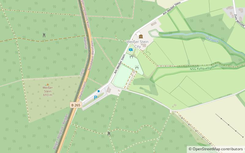
The Weißer Stein is located in the forest of Mürringen, a hamlet of the Büllingen municipality in East Belgium. It is the highest point of this village and the second-highest point of Belgium. It also lies on the border with the German state of North Rhine-Westphalia. ()
Location
North Rhine-Westphalia
ContactAdd
Social media
Add
Day trips


