Church of Reconciliation, Mannheim
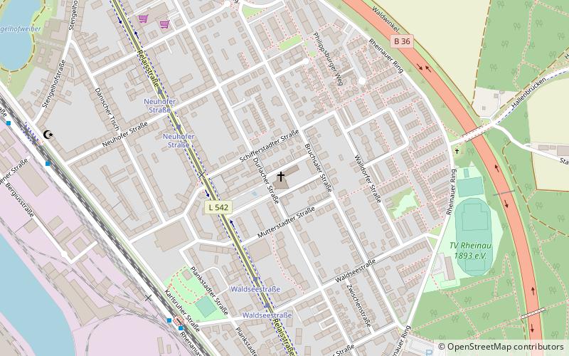
Map

Gallery

Facts and practical information
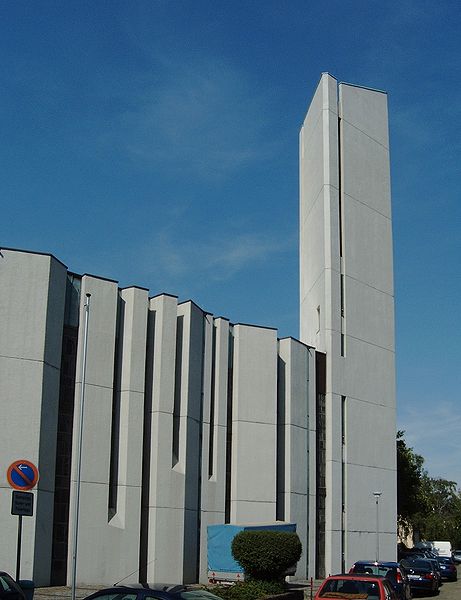
The Versöhnungskirche is a Protestant church in the Rheinau district of Mannheim. It was built between 1963 and 1965 according to the plans of Helmut Striffler.
Architectural style: ModernCoordinates: 49°26'2"N, 8°31'46"E
Address
RheinauMannheim
ContactAdd
Social media
Add
Day trips
Church of Reconciliation – popular in the area (distance from the attraction)
Nearby attractions include: SAP Arena, Carl-Benz-Stadion, Technoseum, Maimarktgelände.
Frequently Asked Questions (FAQ)
How to get to Church of Reconciliation by public transport?
The nearest stations to Church of Reconciliation:
Tram
Bus
Train
Tram
- Waldseestraße • Lines: 1, 8 (5 min walk)
- Neuhofer Straße • Lines: 1, 8 (5 min walk)
Bus
- Waldseestraße West • Lines: 710, 711 (7 min walk)
- Rheinauhafen • Lines: 710, 711 (9 min walk)
Train
- Mannheim-Rheinau (20 min walk)


