Wolkenburg, Königswinter
Map
Map

Facts and practical information
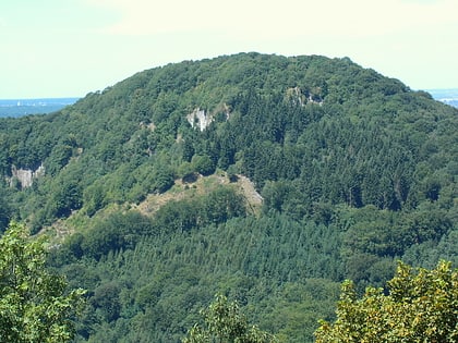
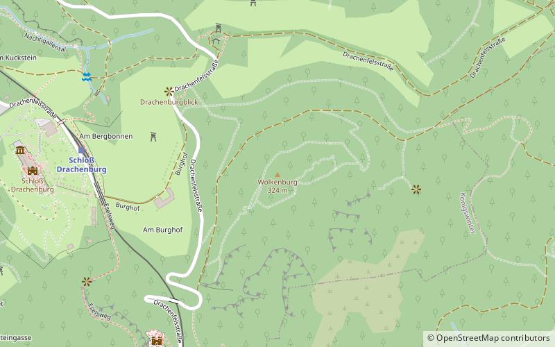
The Wolkenburg is a departed, i.e. a no longer existing hilltop castle on the mountain of the same name, today still 324 m above sea level in the Siebengebirge in the urban area of Königswinter and Bad Honnef; the name is said to derive from the clouds often shrouding the mountain plateau.
Coordinates: 50°40'7"N, 7°12'50"E
Address
Königswinter
ContactAdd
Social media
Add
Day trips
Wolkenburg – popular in the area (distance from the attraction)
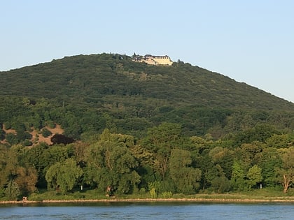
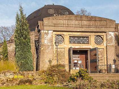
Nearby attractions include: Drachenfels, Schloss Drachenburg, Petersberg, Nibelungenhalle & Drachenhöhle.
Frequently Asked Questions (FAQ)
Which popular attractions are close to Wolkenburg?
Nearby attractions include Drachenfels, Königswinter (8 min walk), Schloss Drachenburg, Königswinter (9 min walk), Obelisk, Königswinter (9 min walk), Hirschburg, Königswinter (12 min walk).
How to get to Wolkenburg by public transport?
The nearest stations to Wolkenburg:
Train
Tram
Bus
Train
- Schloß Drachenburg (7 min walk)
- Drachenfels (8 min walk)
Tram
- Königswinter Denkmal • Lines: 66 (20 min walk)
- Rhöndorf • Lines: 66 (20 min walk)
Bus
- Wintermühlenhof • Lines: 521, Petersberg-Shuttle (20 min walk)
- Rhöndorf Kapelle • Lines: 566 (20 min walk)
