Evangelical Church, Kempfeld
Map
Gallery

Facts and practical information
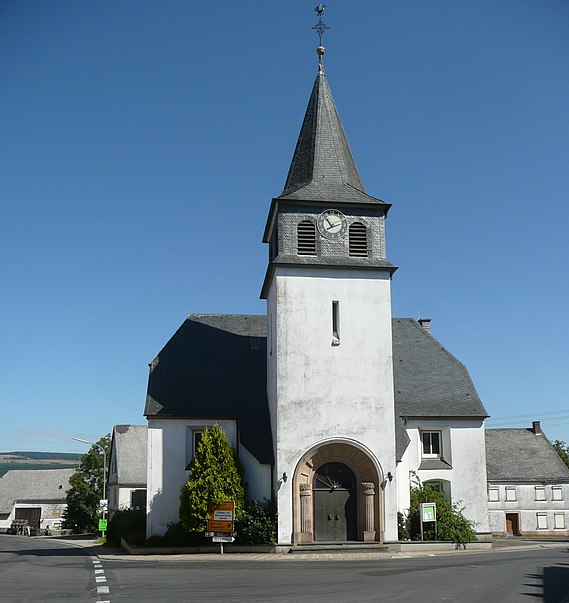
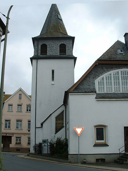
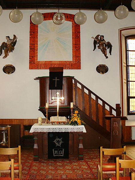
The Evangelical Church Kempfeld is the Protestant church in Kempfeld of the Protestant parish Schauren-Kempfeld-Bruchweiler in Hunsrück.
Coordinates: 49°47'29"N, 7°14'33"E
Address
Kempfeld
ContactAdd
Social media
Add
Day trips
Evangelical Church – popular in the area (distance from the attraction)
Nearby attractions include: An den zwei Steinen, Wildenburg Castle, Idarkopf Tower, Wildenburger Kopf.


