Wegekreuz Huber, Oberkirch

Gallery (1)
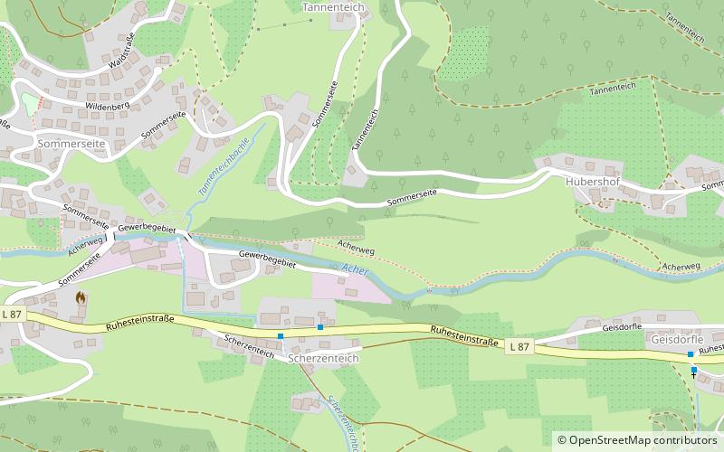
Map
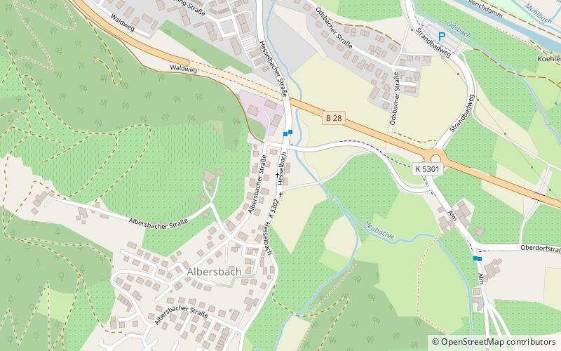
Map
Facts and practical information
Wegekreuz Huber is a place located in Oberkirch (Baden-Württemberg state) and belongs to the category of wayside shrine.
It is situated at an altitude of 659 feet, and its geographical coordinates are 48°31'11"N latitude and 8°5'1"E longitude.
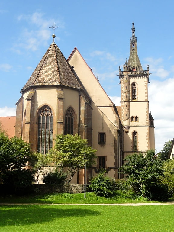
Among other places and attractions worth visiting in the area are: Schauenburg (historical place, 37 min walk), Mariä Krönung, Lautenbach (church, 41 min walk), Staufenberg, Durbach (vineyard, 73 min walk).
Coordinates: 48°31'11"N, 8°5'1"E
Address
Oberkirch
ContactAdd
Social media
Add
Day trips