Trek Zone

Saarlouis, Saarlouis
#5 among attractions in Saarlouis

Neighbourhood
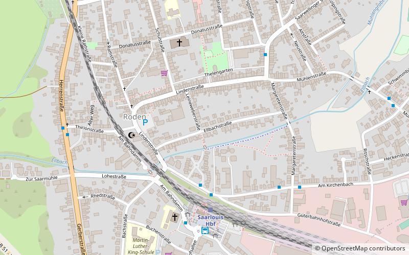
Saarlouis location map
Map

Facts and practical information

Local name: Landkreis Saarlouis Area: 177.25 mi²Coordinates: 49°19'48"N, 6°45'0"E
Address

Saarlouis Germany

Contact
Social media
Add
Day trips

Saarlouis – popular in the area (distance from the attraction)

Nearby attractions include: Altes Schloss, Bunker 20, Westwallmuseum, St. Ludwig catholic church.

  • altes schloss dillingen1.7 miNW
  • bunker 20 dillingen2.2 miNW
  • westwallmuseum beckingen4.3 miNW
  • st ludwig catholic church saarlouis1 miS
  • museum pachten2.5 miNW
  • katholische pfarrkirche heilig sakrament dillingen2.1 miNW
  • kath kapelle hl valentin saarlouis1.1 miSW
  • st maximin2.4 miNW
  • schloss vileroy de galhau wallerfangen1.5 miW
  • st matthias4.3 miSW
  • st johann dillingen1.8 miNW

Where to next? Visit saarland Saarland region page or discover the top tourist attractions in Germany.