Park an der Etzoldschen Sandgrube, Leipzig
Map

Gallery

Facts and practical information
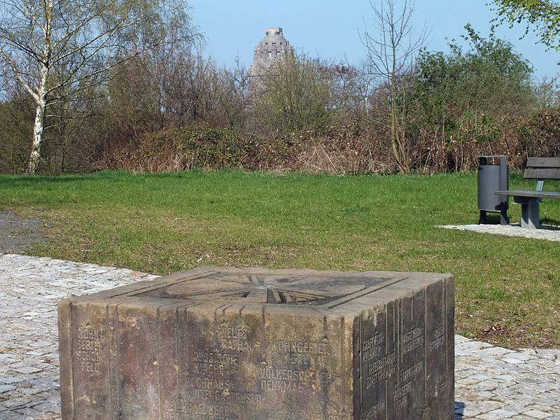
Park an der Etzoldschen Sandgrube is a park in southeast Leipzig with a memorial to the University Church of St. Pauli, which was blown up in 1968. On city maps you can also find the names Freizeitpark Südost and Freundschaftspark.
Elevation: 466 ft a.s.l.Coordinates: 51°18'32"N, 12°25'25"E
Address
Südost (Probstheida)Leipzig
ContactAdd
Social media
Add
Day trips
Park an der Etzoldschen Sandgrube – popular in the area (distance from the attraction)
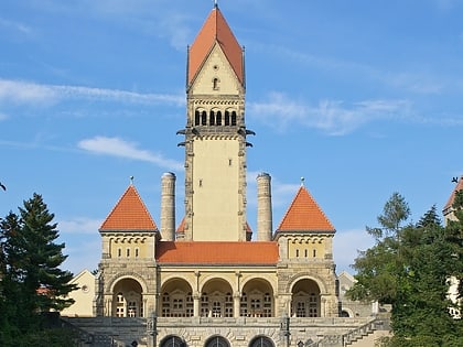
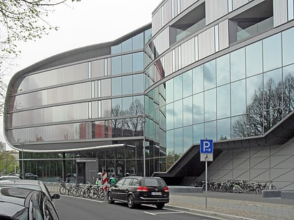
Nearby attractions include: Völkerschlachtdenkmal, Bruno-Plache-Stadion, Südfriedhof, German Museum of Books and Writing.
Frequently Asked Questions (FAQ)
Which popular attractions are close to Park an der Etzoldschen Sandgrube?
Nearby attractions include Bruno-Plache-Stadion, Leipzig (12 min walk), Südfriedhof, Leipzig (13 min walk), Völkerschlachtdenkmal, Leipzig (18 min walk), Napoleonstein, Leipzig (20 min walk).
How to get to Park an der Etzoldschen Sandgrube by public transport?
The nearest stations to Park an der Etzoldschen Sandgrube:
Bus
Tram
Train
Bus
- Prager/Russenstraße • Lines: 79, N8 (5 min walk)
- Südfriedhof • Lines: +690 (8 min walk)
Tram
- Prager/Russenstraße • Lines: 15, 2 (5 min walk)
- Südfriedhof • Lines: 15, 2 (9 min walk)
Train
- Leipzig Völkerschlachtdenkmal (26 min walk)
- Leipzig-Stötteritz (30 min walk)


