Hortenkopf

Gallery (1)
Map
Map
Facts and practical information
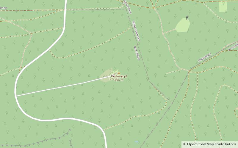
The Hortenkopf is a hill, 606 metres above sea level, in the German state of Rhineland-Palatinate, which lies in the middle of the Palatine Forest between Hofstätten and Leimen. The Hortenkopf is recognisable from a long way off thanks to the transmission tower that has been erected on its summit. ()
Location
Rhineland-Palatinate
ContactAdd
Social media
Add
Day trips


