Lütsche-Flößgraben
#2756 among destinations in Germany

Facts and practical information
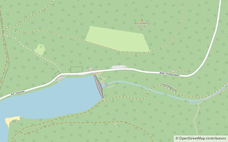
Lütsche-Flößgraben is a former canal near Gräfenroda in Thuringia, Germany. It was used for timber rafting from the Thuringian Forest. It has been converted into a hiking trail, opened in 2016. ()
ThuringiaGermany
Lütsche-Flößgraben – popular in the area (distance from the attraction)
Nearby attractions include: Falkenstein, Kanzlersgrund, Schneekopf, Tobiashammer.
 Climbing
Falkenstein
140 min walk • Nestled within the picturesque landscape of Germany, Falkenstein emerges as a climbing enthusiast's paradise. This climbing spot, renowned for its challenging vertical ascents and breathtaking natural surroundings, offers an array of routes that cater to climbers of...
 Sport venue, Sport
Kanzlersgrund
122 min walk • Nestled in the serene heart of Germany, Kanzlersgrund stands as a testament to the country's love for winter sports. This sports venue, though perhaps not as internationally renowned as some of its counterparts, is a gem for those passionate about hitting the slopes in...
 Nature, Natural attraction, Mountain
Schneekopf
125 min walk • Rising from the heart of the Thuringian Forest, Schneekopf stands as a sentinel over central Germany. At an elevation of 978 meters, it is the second-highest peak in the Thuringian Forest and a magnet for nature enthusiasts and hikers alike.
 Museum, Specialty museum
Tobiashammer
121 min walk • Nestled in the heart of Germany's Thuringian Forest, Tobiashammer is a historical gem that beckons visitors with its unique blend of industrial heritage and technological marvels. This well-preserved museum is a tribute to the bygone era of metallurgy and mechanical...
 Outdoor activities, Botanical garden
Rennsteiggarten Oberhof, Oberhof
95 min walk • The Rennsteiggarten Oberhof is a botanical garden specializing in mountain flora, located in Rennsteig at Am Pfanntalskopf 3, Oberhof, Thuringia, Germany. It is open daily in the warmer months; an admission fee is charged.
 Nature, Natural attraction, Mountain
Großer Beerberg, Thuringian Forest
141 min walk • The Großer Beerberg is a mountain located in the Thuringian Forest, Germany, and the highest point in the state of Thuringia. The nearest town is Suhl. Between the summit of the Beerberg and that of its eastern neighbour, the Schneekopf, the second highest mountain of Thuringia, is a 60-metre-deep col.
 Forts and castles
Liebenstein Castle
111 min walk • Liebenstein Castle is a castle in Liebenstein in the Ilm-Kreis, Thuringia, Germany. It was originally built in the 12th century by the counts of Käfernburg; the castellans were the counts' ministeriales, the lords of Liebenstein.
 Bridge
Wirrbachtalbrücke
76 min walk • The Wirrbachtalbrücke is an arch bridge in Geschwenda, Thuringia, Germany. The bridge is located on the Bundesstraße 88, above the Wirrbach river of the Thuringian Forest. It is 235 metres long and 40 metres in height. The construction of the bridge began in 2001, and was completed in 2003.
 Dam
DamOhra Dam
73 min walk • The Ohra Dam is a dam which impounds the Ohra in the German state of Thuringia. It lies on the northern side of the Thuringian Forest in the county of Gotha near the village of Luisenthal.

 Church
Dorfkirche
112 min walk • The Evangelical Church in Angelroda, Thuringia, dates back to a medieval building and was completed in its present form shortly before 1700. Its furnishings essentially date from the late 18th century.