St. Josef, Düsseldorf
Map
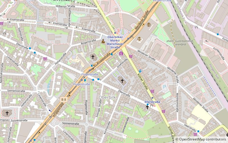
Map

Facts and practical information
The Catholic church of St. Joseph is located in Düsseldorf-Oberbilk. It was once the parish church of the largest parish in the Archdiocese of Cologne. Today, the parish belongs to the pastoral area of Unter- und Oberbilk, Friedrichstadt and Eller-West.
Architectural style: Gothic revivalCoordinates: 51°12'54"N, 6°48'11"E
Day trips
St. Josef – popular in the area (distance from the attraction)
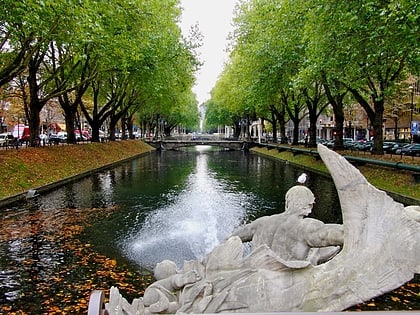
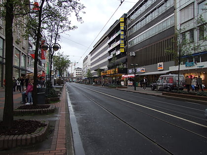
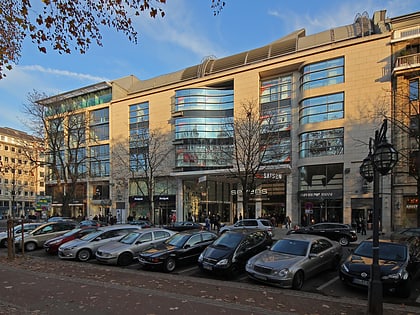
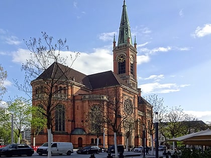
Nearby attractions include: Königsallee, Schadowstraße, Sevens Home of Saturn, Church of St. John.
Frequently Asked Questions (FAQ)
Which popular attractions are close to St. Josef?
Nearby attractions include Christ Church, Düsseldorf (3 min walk), Düsseldorf-Oberbilk, Düsseldorf (3 min walk), Maria-Obhut-Kirche, Düsseldorf (5 min walk), Kiefernstraße, Düsseldorf (11 min walk).
How to get to St. Josef by public transport?
The nearest stations to St. Josef:
Tram
Bus
Metro
Train
Tram
- Flügelstraße • Lines: 706 (3 min walk)
- Oberbilker Markt U • Lines: 706 (3 min walk)
Bus
- Oberbilker Markt U • Lines: 732, 736, 805, 817, Ne6 (3 min walk)
- Ellerstraße • Lines: 721, 722, 732, 817, Ne6 (5 min walk)
Metro
- Oberbilker Markt/Warschauer Straße • Lines: U74, U77, U79 (4 min walk)
- Ellerstraße • Lines: U74, U77, U79 (4 min walk)
Train
- Düsseldorf Central Station (13 min walk)
- Düsseldorf-Oberbilk (14 min walk)

